Mount Nun Expedition 2026 – 23-Day Technical Climb to 7,135 m
The Mount Nun Expedition is a tough 23-day hike to the 7135m peak of Mount Nun, the highest peak of the Nun–Kun massif in Ladakh. The route starts and ends in Leh, passing through Kargil and the Suru Valley to Tangol, where the team establishes the approach point. Nun is officially recorded at a height of 7,135 meters by the Indian Mountaineering Foundation, and the approach to Tangol is known as the Base Camp approach.
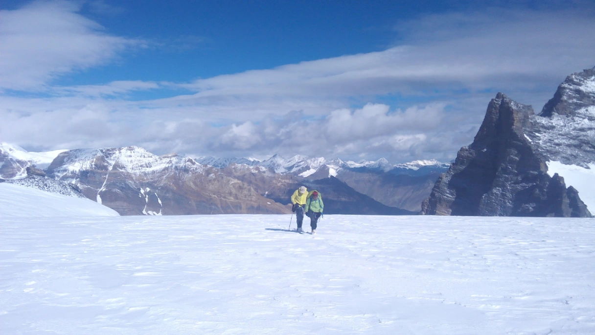
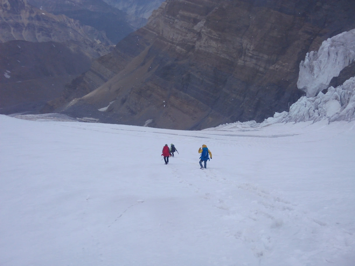
This is a mountaineering trip, not a holiday. Climbers must experience glacier travel, crevasses, fixed ropes, steep snow and ice, loading and hauling, three high camps, extreme cold, and a long summit day. The program includes acclimatization days, equipment checks, camp rotations, recovery time, and weather reserve time.
Climbers must be medically fit, have significant 6,000 m experience, good technical skills, and confidence on fixed lines. All applications are considered.
- Climbing Grade—Difficulty
- Best Season: July, August
- Accommodation: Hotel in Leh, Kargil, Tent, during expedition
- Eligibility: Minimum 6000-meter climbing experience
- Group Size: Confirmed; those fixed in our schedule
- Departure: Fixed and private dates
- Location: Tagol Suru Valley
- Total Duration Expedition: 23 Days
- Start and finish: Leh
- Road Approach: Leh-Kargil-Tangol village
- Elevation:
- Base camp: 4600 meters approximately
- Camp 1: 5550 meters
- Camp 2: 6100 meters
- Summit camp or camp 3: 6400 meters
- Summit Altitude: 7135 meters /23,409 feet
The Mount Nun Expedition: Overview of the entire journey.
Nun is the more elevated of the two peaks, Nun and Nun–Kun. The higher peak is Nun, which stands above the Suru Valley. It's a significant step up from 6,000-meter summits, as it involves extreme altitude, glacier travel, steep snow and ice, and remote logistics and multi-camp living.
The expedition starts with acclimatization, briefing, medical observation, and equipment inspection in Leh. In Kargil, the group then makes its way through the Suru Valley to Tangol and then across a rough trail, streams, and moraine to Base Camp at around 4600 m.
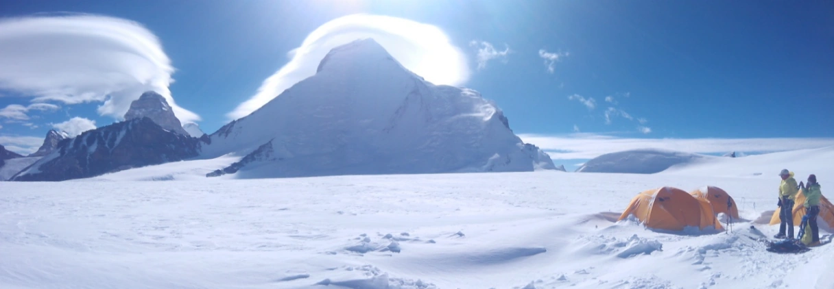
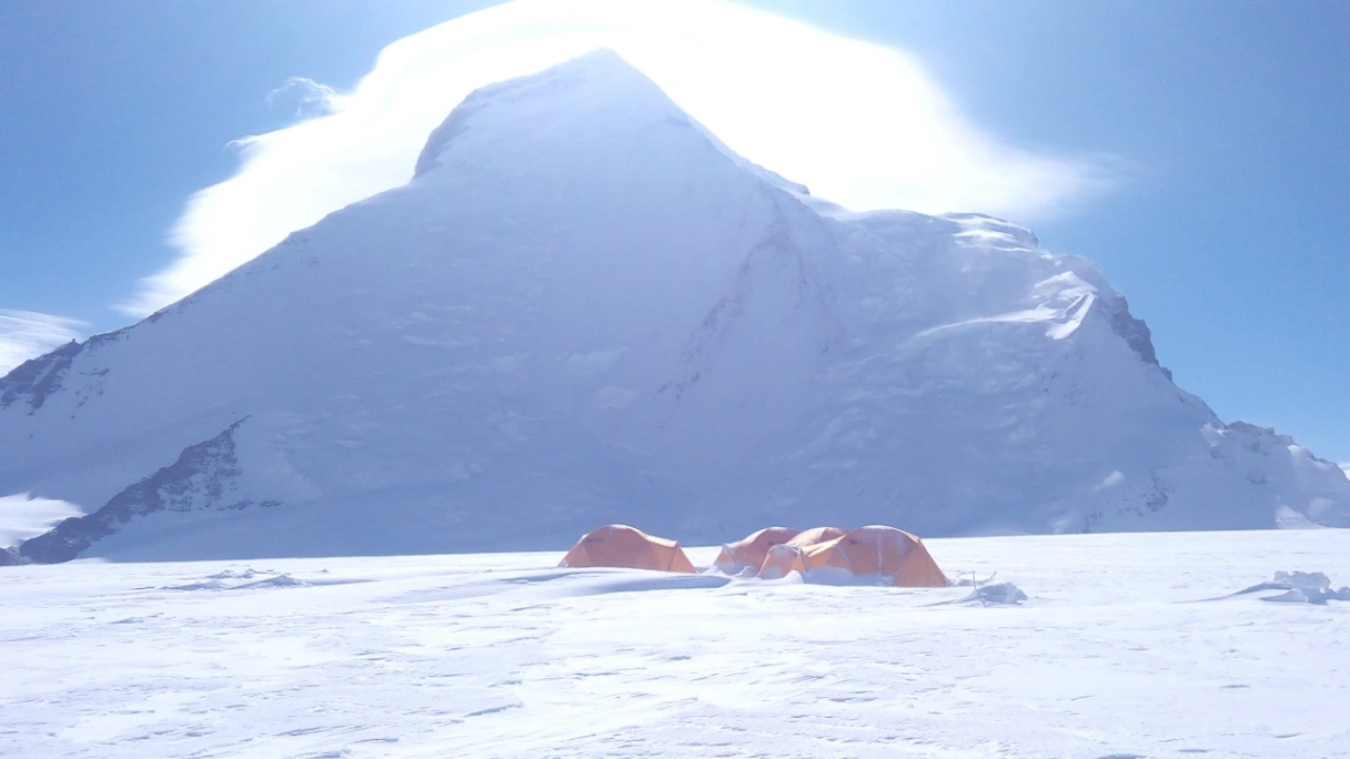
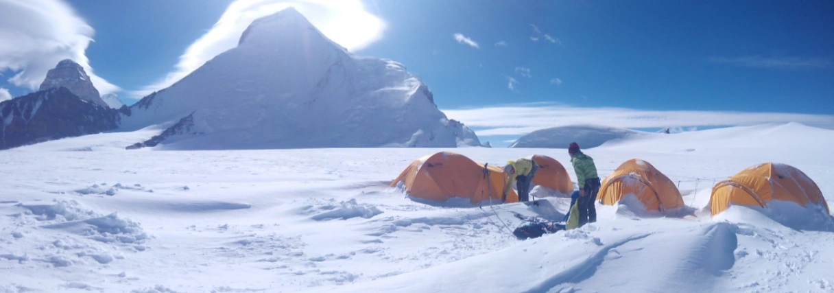
The base camp is the headquarters of the expedition and includes sleeping tents, a dining and kitchen area, communications, a medical area, and technical stores. Three high camps are set up, and the team revises skills along the route. Climbers may encounter moraines, glaciers, crevasse areas, steep snow, hard ice, and fixed ropes. Camp locations may vary from year to year.
Only when the weather, route conditions, team health, pace, and descent margin are favorable will a summit attempt begin from Camp 3. The team then proceeds to the clear part of the mountain and, thereafter, goes back to Leh via Tangol and Kargil.
Location, Geography and Climbing History
Location and geography
In Suru Valley, Kargil District, in Ladakh, there is a peak called Mount Nun. According to the Indian Mountaineering Foundation record, Nun is at 7,135 meters, and the base camp approach is Tangol. The Ladakh administration also calls Tangol, some 77km from Kargil, the mountaineering base for the Nun-Kun massif.
The way turns from a populated valley road to isolated alpine country. Other than Tangol, the expedition does not benefit from a line of commercial lodges or mountain facilities. The expedition is responsible for bringing or setting up shelter, food, fuel, technical equipment, communications, and waste management facilities.
Climbing history
There were several early explorers and climbing attempts on Mount Nun before its first ascent. In 1953, a French-led expedition by Bernard Pierre went up the mountain. On 28 August, Pierre Vittoz and Claude Kogan were the first to climb to the top via the west ridge. Later, Indian and international teams established routes on other ridges and faces.
The mountain remains relevant to mountaineering in India due to its elevation of 7,000 meters, technical nature, rain, expedition logistics, and complex decision-making.
What makes the Mount Nun expedition so special?
Mount Nun is ideal for experienced climbers who are looking to build on their 6,000m summits and move towards a more challenging Himalayan target.
- Beyond 7000 meters: Learn how high altitudes affect speed, hunger, sleep, recuperation, and judgment.
- Apply real technical skills: rope up on glaciers, deal with a crevasse field, climb fixed lines, and use crampons on steep snow/ice.
- Enjoy a three-camp experience: participate in load carries, equipment caching, rotations, and limited high-camp living.
- Climbing in the backcountry: The Suru Valley approach differs from that of some popular trekking routes.
- Develop expedition judgment: Understand fatigue, report to the expedition, and respect turnaround decisions.
- Plan for bigger goals: Gain experience for future high-altitude Himalayan trips.
The benefit of the expedition is to function responsibly where preparation, teamwork, and safe descent are as critical as ascending.
Route and High-Camp Overview
Leh – Approximately 3,500 m
- The arrival and acclimatization base is Leh. The team conducts a series of short assessments: briefings, health checks, document checks, and equipment checks before leaving.
Kargil – Approximately 2,700 m
- The journey takes about 7-8 hours, depending on traffic, road conditions, and weather. Lower sleeping altitude is for recovery the night before entering the Suru Valley.
Tangol – Approximately 3,700 m
- The roadhead is called Tangol. Climbers get together with the support team, repack loads, check equipment, and take a relaxed acclimatization walk.
Base camp Load free
- Base Camp is about 4,600 m above sea level. There is a short but challenging approach due to altitude gain, loose ground, and moraine. Base camp acclimates, revises, checks medical, and prepares loads.
Camp 1 – Approximately 5,550 m
- The track might traverse boulders, glacial terrain, snow bridges, and crevasse-prone areas. Camp 1 is designated for the first rotation and load ferry.
Camp 2 – Approximately 6,100 m
- Moving to Camp 2 is steep snow, ice, mixed ground, exposure, and challenging rope management.
Camp 3 – Approximately 6,400 m
- Camp 3 will be the last overnight camp. Limited space, water from melting snow, and rest are particularly difficult to come by due to the cold and altitude.
Summit – 7,135 m
- Summit push starts at night and is carried out according to a specific turnaround plan. Getting to the top is not the end of the goal; enough time and energy need to be left to return back down.