The sandakphu phalut trek is one of the most beautiful Himalayan pathways that extends along the Singalila Ridge and presents the unparalleled scenery of the tallest mountains in the world. The trekkers are able to observe four out of the five highest mountains in the world—Everest, Lhotse, Makalu and Kanchenjunga—under one route. To the trekkers of the United States, this trail gives the unique opportunity to stroll on a mountain ridge that cuts across the border between India and Nepal, and have an average yet satisfying experience of trekking.
This is a guide detailing the entire route of the sandakphu phalut trek, the distance covered during the trek, the amount of altitude gain, the day-by-day route and structure, the types of terrains, weather conditions and planning imperatives.

Itinerary of the Sandakphu Phalut Trek
The sandakphu phalut trek is characterized by the lengthy ridge walks, slow increase in elevation and the constant view of the mountain range occurring in the background. This trail does not pass through deep valleys as other Himalayan trails but rather remains on high ground which provides the trekkers with early and regular view of major peaks.
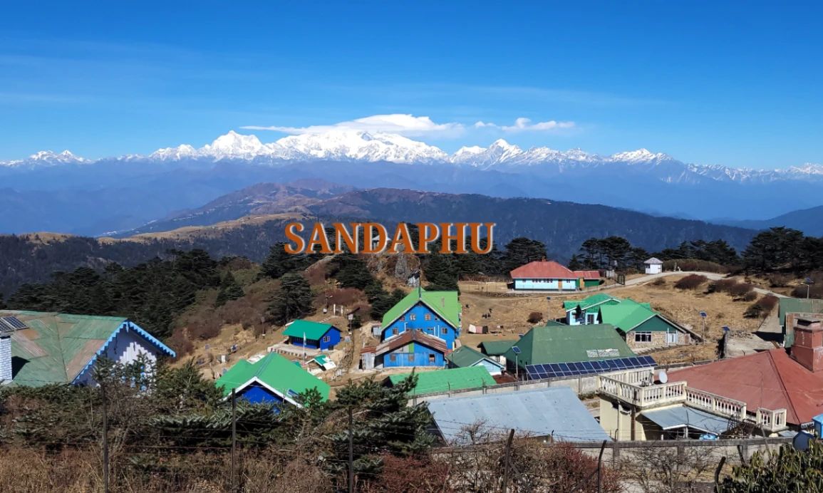
The route usually starts in West Bengal at Manebhanjan (6,400 ft) and finishes at Srikhola having done both Sandakphu (11,930 ft) and Phalut (11,811 ft).
Table 1: Core Route Overview
| Category | Details |
| Total Distance | 55 to 45 (depending on the variation of route) miles |
| Highest Point | Sandakphu – 11,930 ft |
| Second Highest | Phalut – 11,811 ft |
| Ideal Duration | 6–8 days |
| Difficulty Level | Moderate |
| Border Region | India–Nepal ridge |
Entire Day-by-Day Route Breakdown
The most popular and easiest path of the trekkers is provided below.
Day 1 – Manebhanjan → Tumling (9,600 ft)
Distance: ~7 miles
Time: 5–6 hours
Route Features
• Stone path sharp at the beginning
• Pass by green trees and little abbeys
• Crossing into Nepal side of the ridge at Tumling
Highlights
• Introduction to lower Himalayan regions
• Tea house stay
• Hot food and premature acclimatization
Day 2 – Tumling → Kalipokhri (10,400 ft)
Distance: ~8 miles
Time: 6 hours
Route Features
• The forest with rhododendron and bamboo bushes
• Stone-paved sections
• Gradual altitude gain
Highlights
• Scenery of the Sleeping Buddha shape
• Holy lake of Kalipokhri
• Beautiful sunset during sunny days
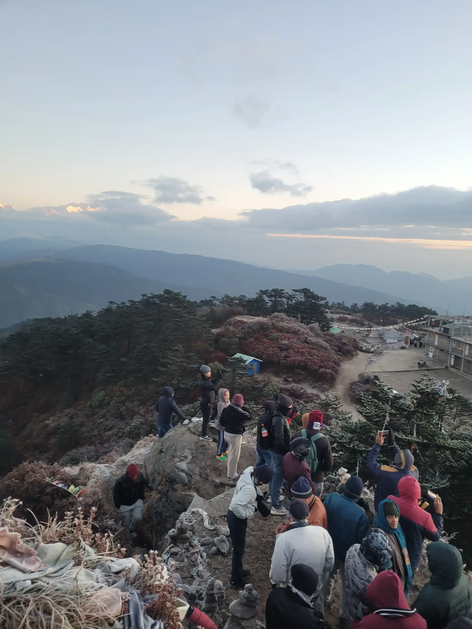
Day 3 – Kalipokhri → Sandakphu (11,930 ft)
Distance: ~4–5 miles
Time: 3–4 hours
Route Features
• Steepest part of the trek
• Windy open ridge sections
Highlights
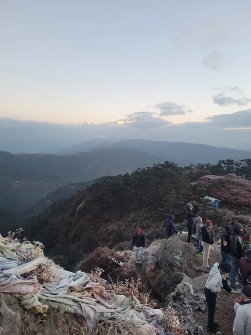
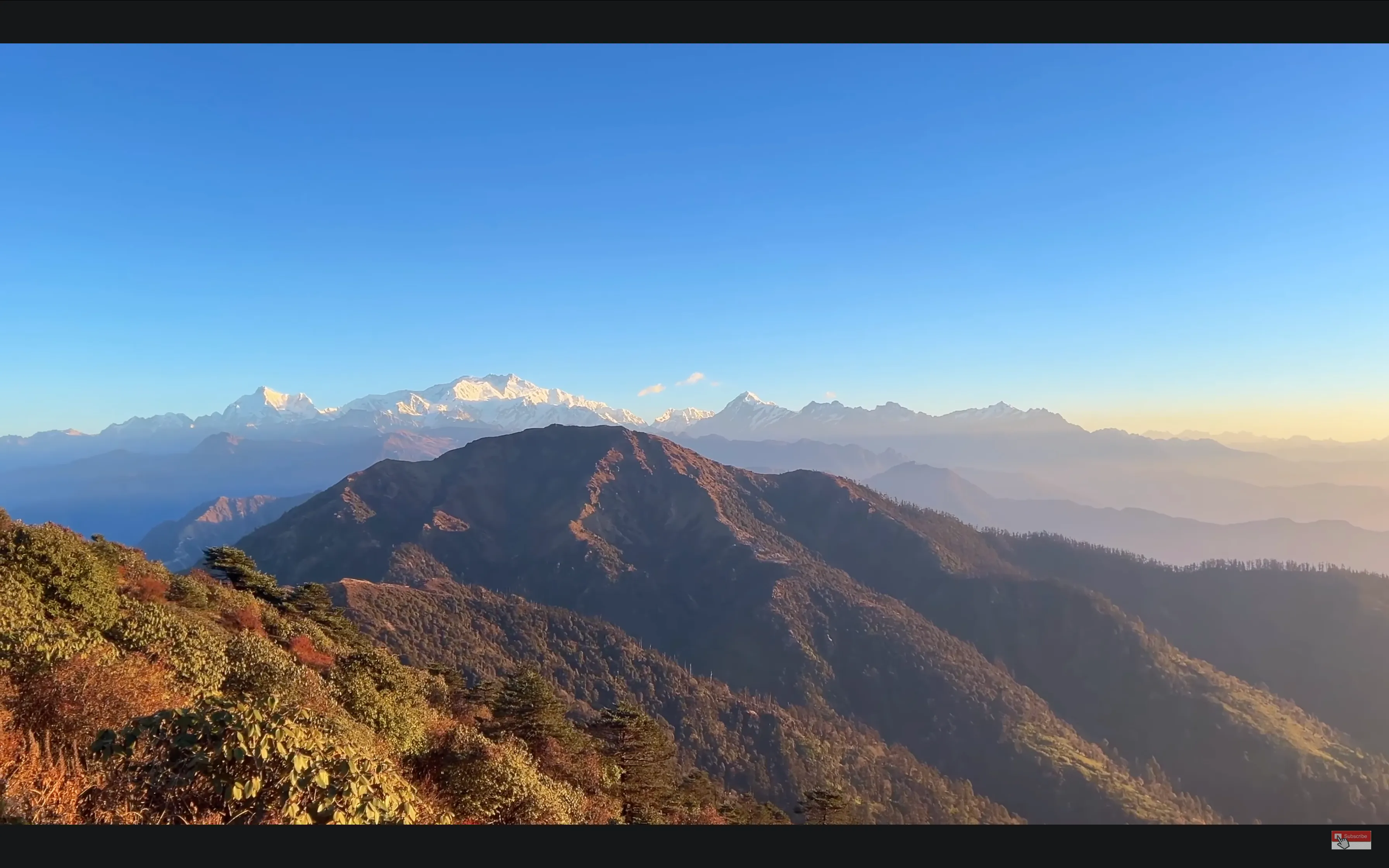
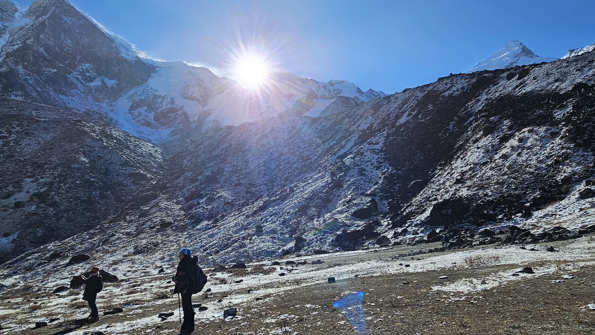
• Complete 180-degree panorama of Everest, Lhotse, Makalu and Kanchenjunga
• Dramatic sunrise and sunset
• Coldest night of the trek
Day 4 – Sandakphu → Phalut (11,811 ft)
Distance: ~13 miles
Time: 7–8 hours
The most picturesque and the longest day of the sandakphu phalut trek.
Route Features
• Open mountain top walk and panoramic mountain vistas
• Gentle ups and downs
• Remote and quiet trail
Highlights
• Optimal sight of massif of the Kanchenjunga
• Peaceful landscapes
• Perfect conditions in photography
Day 5 – Phalut → Gorkhey (7,700 ft)
Distance: ~9 miles
Time: 6–7 hours
Route Features
• Strong altitude drop
• Forested trails
Highlights
• Riverside village stay
• Warmer climate
• Local foodstuff and cultural experience
Day 6 – Gorkhey → Srikhola (6,200 ft)
Distance: ~6 miles
Time: 3–4 hours
Route Features
• Soft forest path
• Easy descent
Highlights
• End of the trek
• Go back to Manebhanjan or Darjeeling
Profile of Total Distance and Altitude Explained
The knowledge of the change of altitude can assist the trekkers in planning the pacing, acclimatization, and hydration.
Table 2: Chart on Distance and Altitude
| Day | Location | Altitude | Distance |
| 1 | Manebhanjan → Tumling | 6,400 → 9,600 ft | ~7 mi |
| 2 | Tumling → Kalipokhri | 9,600 → 10,400 ft | ~8 mi |
| 3 | Kalipokhri → Sandakphu | 10,400 → 11,930 ft | ~4–5 mi |
| 4 | Sandakphu → Phalut | 11,930 → 11,811 ft | ~13 mi |
| 5 | Phalut → Gorkhey | 11,811 → 7,700 ft | ~9 mi |
| 6 | Gorkhey → Srikhola | 7,700 → 6,200 ft | ~6 mi |
Surface and Pathology
The sandakphu phalut trek is a broad coverage of landscapes.
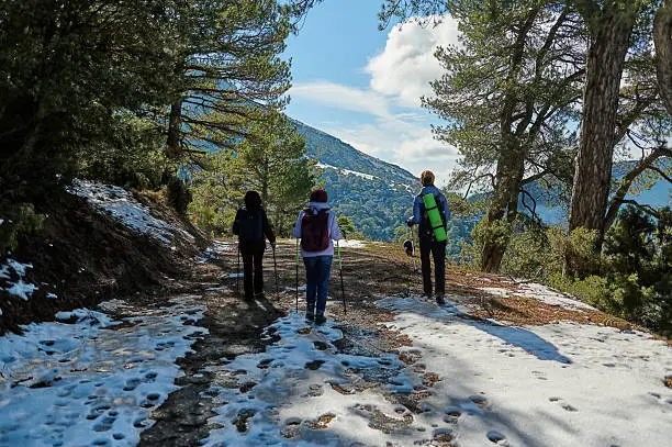
Forest Trails
• Thick rhododendron, oak and bamboo bush
• Cushiony routes, shadowy and animal escapes
Cobblestone and Rocky Sections
• Colonial-era stone tracks
• Mean-heeled, who did not wear their shoes
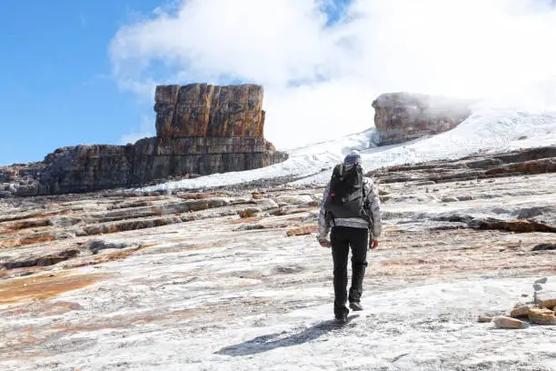
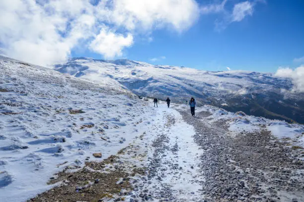
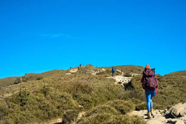
High Ridge Walks
• Open grasslands
• Strong winds at times
• Best panoramic views
Mountain Villages
• Traditional tea houses
• Local organic meals
• Scenic rural lifestyle
Happiest Time of the Year to do Sandakphu Phalut Trek
Visibility, safety and experience are determined by weather.
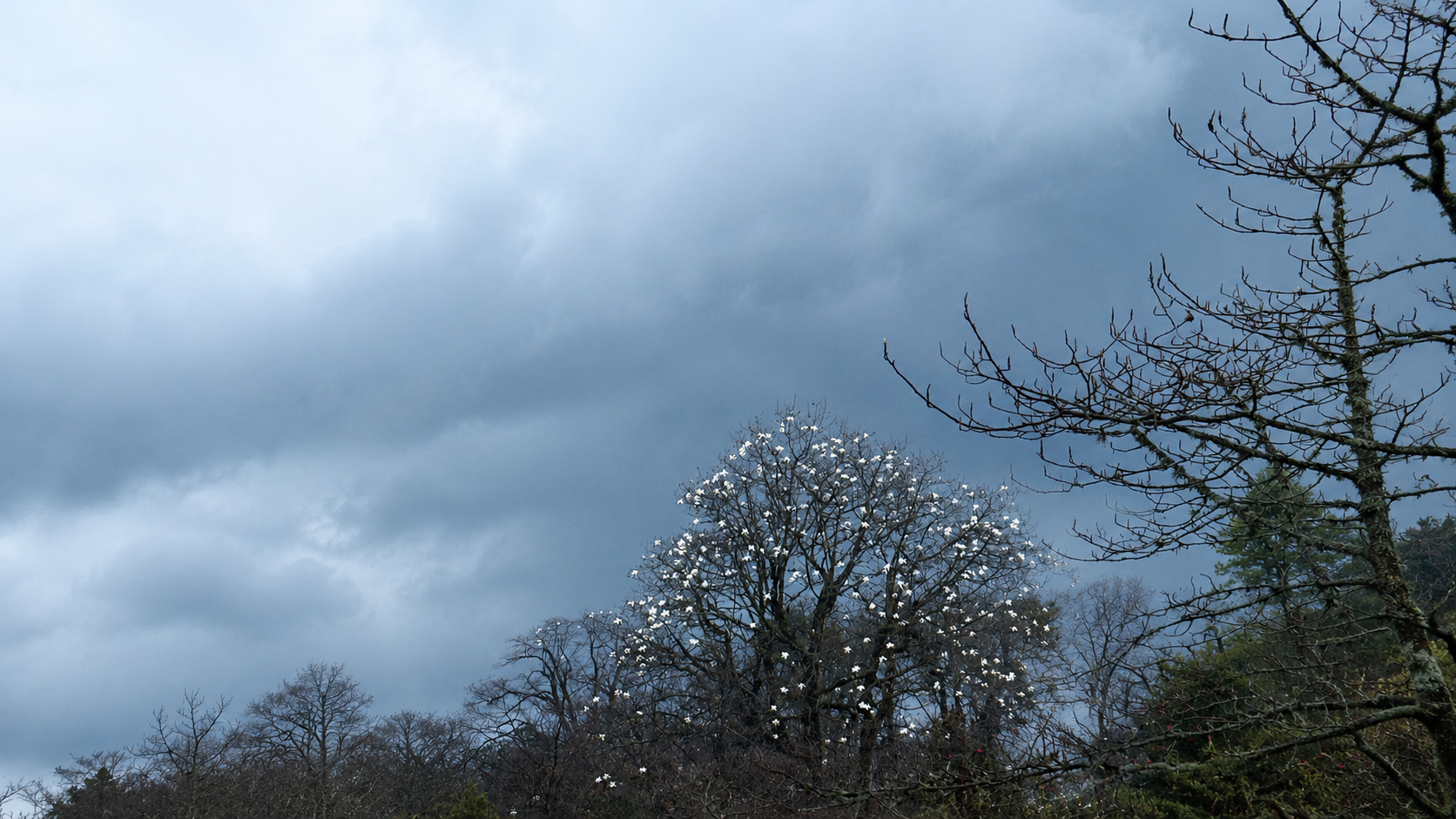
Spring (March–May)
• Blossoming roses of dendron
• Sunny mornings day, moderate weather
• Some haze in the afternoon
Autumn (October–November)
• Weather Everest and Kanchenjunga in best view
• Dry, stable weather
• Peak trekking season
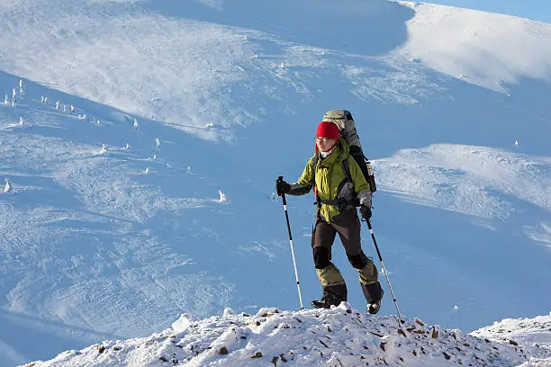
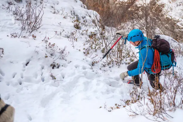
Winter (December–February)
• Crisp views
• Snow-covered trails
• Very cold nights
Monsoon (June–September)
• Not recommended
• Bad roads, foggy conditions
Table 3 – Seasonal Comparison
| Season | Visibility | Temperature | Difficulty |
| Spring | Very Good | Cool–Mild | Moderate |
| Autumn | Excellent | Cool | Moderate |
| Winter | Excellent but cold | Freezing | High |
| Monsoon | Poor | Warm | High (unsafe) |
Basic Preparations and Equipment
Physical Conditioning
Trekkers ought to be capable of walking 8–10 miles every day.
Exercises:
• Hill walking
• Stair climbing
• Squats and lunges
• Core workouts
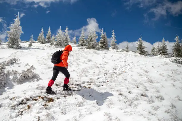
Gear Checklist
• High-ankle trekking boots
• Layered clothing
• Down jacket
• Trekking poles
• Headlamp
• Water purification tablets
Visibility and Weather Patterns
The view on the sandakphu phalut trek varies with time of the day.
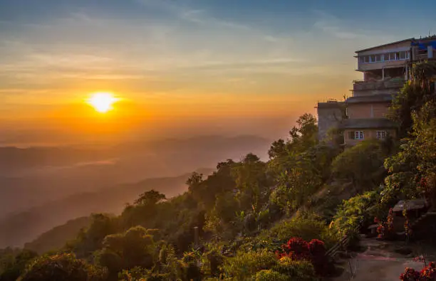
Sunrise
The Sleeping Buddha and Everest cluster are best viewed upon at the best time.
Midday
Light hazy spring, autumn remains cool.
Sunset
Gold on Kanchenjunga and Lhotse.
Night Sky
Sandakphu is also an ideal place to view the stars in the clear night.
Famous Views on the Route
Sleeping Buddha Formation
Kanchenjunga massif resembles a lying figure.
Everest–Lhotse–Makalu Trio
Can only be seen by several locations on Earth.
Phalut Viewpoint
The nearest perspective of the face of Kanchenjunga.
Quotes
The ridge is not only an exhibition of mountains, but it will allow you to walk along it.
A single sunrise in Sandakphu can be used to characterize the entire trek.
It is the Himalayas at the place of silence called Phalut.
FAQs
What is the duration of the sandakphu phalut trek?
The walk can take 45–55 miles depending on the route options.
Are beginners good in sandakphu phalut trek?
Yes, it is a medium-range trek that is appropriate to first time high-altitude trekkers who are well prepared.
What is the peak of the adventure?
Sandakphu at 11,930 feet.
What is the most picturesque season of the mountain?
The clearest visibility is found during autumn (October–November).
Do I need a guide for the trek?
Not compulsory, but very essential in terms of navigation and safety.
Conclusion
The sandakphu phalut trek is considered as one of the best ridge walks in Himalayas, as it provides an incomparable view, variety of landscapes and a satisfying challenge that both beginners as well as experienced trekkers would enjoy. The fantastic location between India and Nepal gives the trekkers unrestricted views of the highest mountains in the world as they traverse trails of woods, mountain hamlets and plain grasslands. With knowledge of the entire trail, altitude profile, the distance covered on a daily basis, and the conditions of the seasons, the trekkers of the United States can have a safe, enjoyable, and memorable experience on this historical trail in the Himalayas.