Phalut Sandakphu trek is a panoramic and ridge walk available in the Eastern Himalayas and gives trekkers the uncommon opportunity to view four out of five highest mountains in the world all in one extensive gaze. This is a hike that follows the Singalila Ridge along the India-Nepal border and has been praised due to its unobstructed views, spectacular sunrises, rhododendron tree forests and culturally enriched tea-house villages. To the American trekker, the charm is a moderate altitude in a combination with the mountain visibility in the world. This guide identifies the significant sights of the route, the most preferred locations of Kanchenjunga and Everest, the key rest points, the state of the trail and the visibility trends during the seasons.

Sandakphu Phalut Route Overview
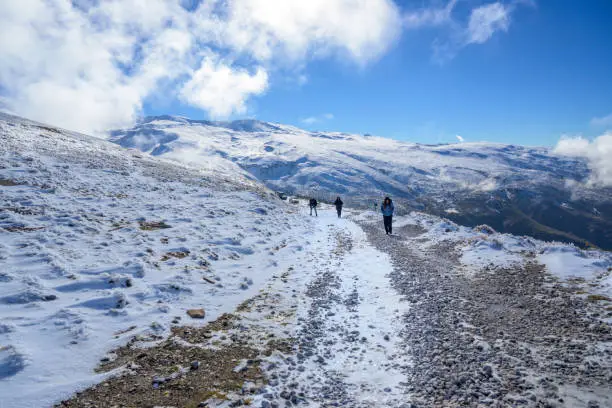
The sandakphu phalut trek is an adventure that traverses forest walks, open ridge, and elevations. This route is unique in that it has a ridge walk which is long thus giving unobstructed view in the long distances.
Key Features
- 180-degree Himalayan panoramas
- Constant ridge path throughout deep valley drops
- Homestays and tea houses every now and then
- Complete sight of Kanchenjunga, Everest, Lhotse and Makalu
Table 1 – Key Highlights in a Nutshell
| Highlight Category | Details |
| Highest Point | Sandakphu (11,930 ft) |
| Best Peak View | Phalut |
| Primary Peaks Visible | Everest, Kanchenjunga, Lhotse, Makalu |
| Best Seasons | March–May, Oct–Nov |
| Trail Type | Ridge walk + forest sections |
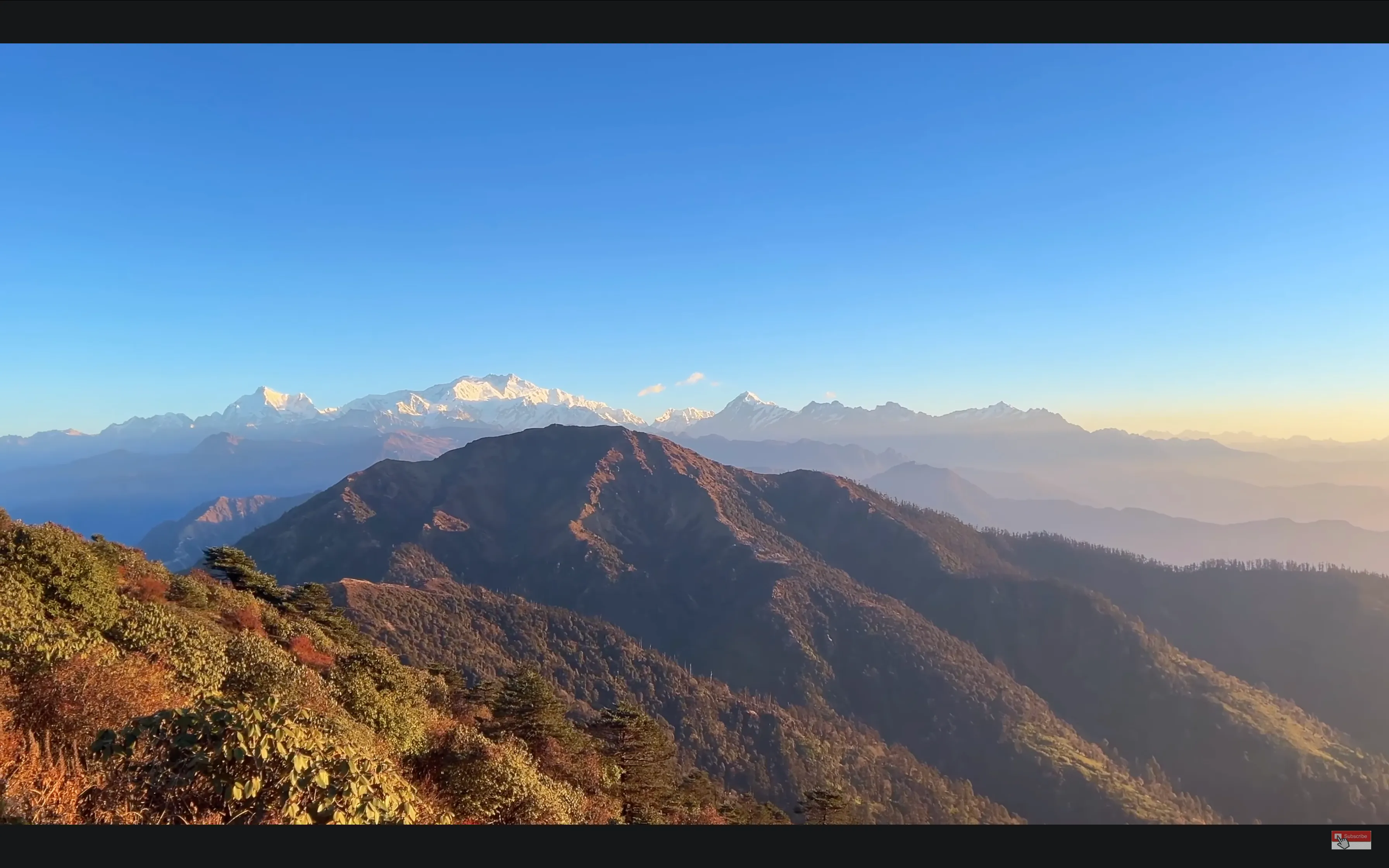
Kanchenjunga Range and the Sleeping Buddha
The Kanchenjunga massif forms the characteristic of sandakphu phalut trek. The mountains are structured in a manner that they look like a reclining man – the Sleeping Buddha.
What You See in Formation of the Sleeping Buddha
- Kanchenjunga Main
- Kanchenjunga South
- Kabru North & South
- Kumbhakarna (Jannu)
- Pandim
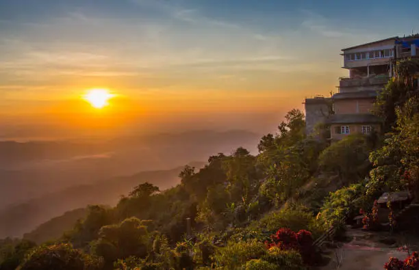
Its formation is particularly bright at the time of sunrise and sunset when the golden-orange rays emphasize the silhouette.
Everest, Lhotse and Makalu Views
The view of three giant peaks of Everest lined up is one of the most unusual phenomena of this trek.
The Reason Why These Views Are Possible
The Singalila Ridge is parallel to the major wall of the Himalaya and there is long distance clear view in the specific seasons. Most of the treks have mountains concealed behind the foothills but the ridge remains elevated and open miles away.
Top Viewing Places of Everest Trio
- Sandakphu summit
- Sabargram ridge
- Phalut peak
With a totally clear sky, one gets to see the pyramid-shaped structure of Mount Everest peeking behind Lhotse.
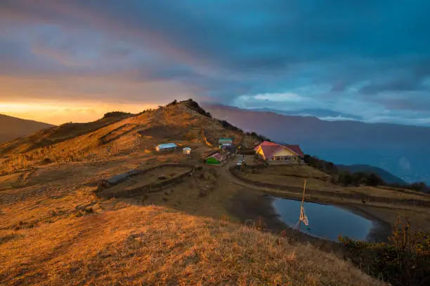
Stops and Checkpoints on the Trek
The sandakphu phalut trek has several scenic spots with different capacities in terms of terrain, altitude, and photography.
Chitrey (8,000 ft)
- First ridge-side views
- Buddhist monastery
- Major point of pre-acclimatization
Tumling (9,600 ft)
- Partial entry into Nepal
- Wide-angle sunrise windows
- The initial fair sight of Kanchenjunga cluster
Gairibas (8,600 ft)
- Dense rhododendron forests
- Narrow valley-side trails
- Perfect place to take a tea and have a meal
Kalipokhri (10,400 ft)
- Sacred black-water lake
- Much fog and melodramatic lighting
- Gradual ridge walk begins
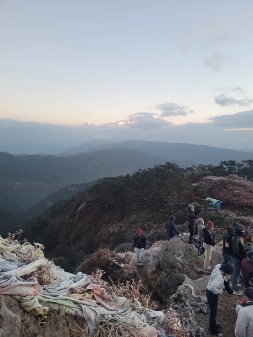
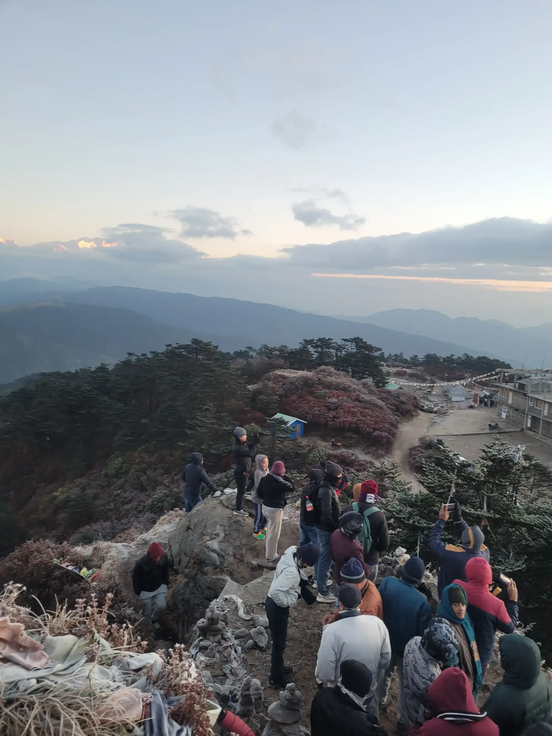
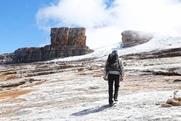
Sandakphu (11,930 ft)
- Highest point of the trek
- Complete 180-degree panorama of Everest–Kanchenjunga
- Extremely windy ridge
Sabargram (11,000 ft)
- Long, exposed ridge walk
- Stunning vantage points of photography
- Uninterrupted mountain wall scenery
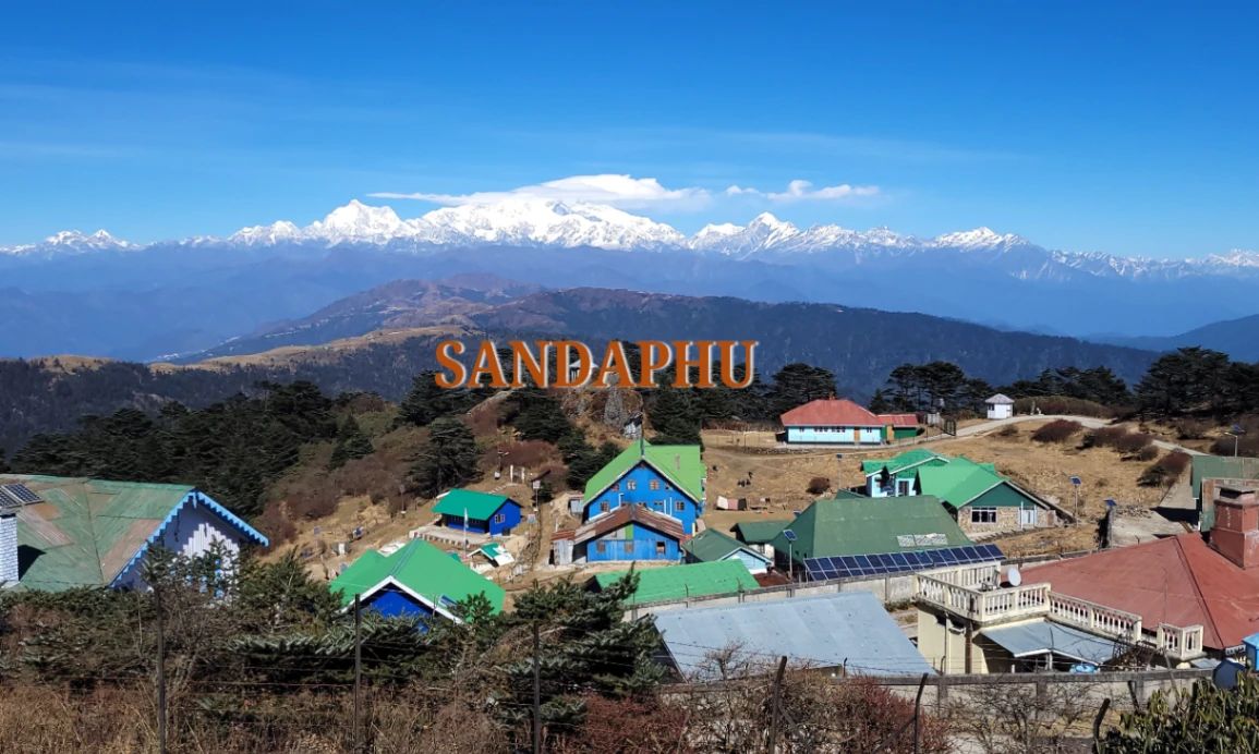
Phalut (11,811 ft)
- The nearest place to look at Sleeping Buddha
- Believed to be the most favorable perspective of the whole path
- Less busy and quieter than Sandakphu
Table 2 – Viewpoint Summary
| Location | Elevation | Visibility Quality | Key Peaks Seen |
| Tumling | 9,600 ft | High | Kanchenjunga cluster |
| Kalipokhri | 10,400 ft | High | Kabru + Pandim (clear days) |
| Sandakphu | 11,930 ft | Excellent | Lhotse, Everest, Makalu, Kanchenjunga |
| Phalut | 11,811 ft | Outstanding | Best Sleeping Buddha view |
Patterns of Visibility by Season
Humidity, cloud cover as well as wind conditions have a significant role to play in visibility. It is necessary to select the appropriate season.
Autumn (October–November)
- Crystal-clear skies
- Lowest haze levels
- Optimum times of peak views, high contrast
- Beautiful sunset and sunrise colors
Spring (March–April)
- Bloom of rhododendron tree on the sides of the forests
- Early mornings, half cloudy afternoons
- Mild temperatures
Winter (December–February)
- Much colder weather, but with such clear skies
- Trails might have snow on them around Sandakphu and Phalut
Monsoon (June–September)
- Heavy fog and rain
- Very poor visibility
- Not suitable when the mountain scenery is required
Table 3: Monthly Visibility
| Month | Visibility | Temperature | Notes |
| March | Good | Cool | Blooming forests |
| April | Very Good | Mild | Clear mornings |
| October | Excellent | Cool | Peak viewing season |
| November | Excellent | Cold nights | Stable weather |
| December | High | Very cold | Snow possible |
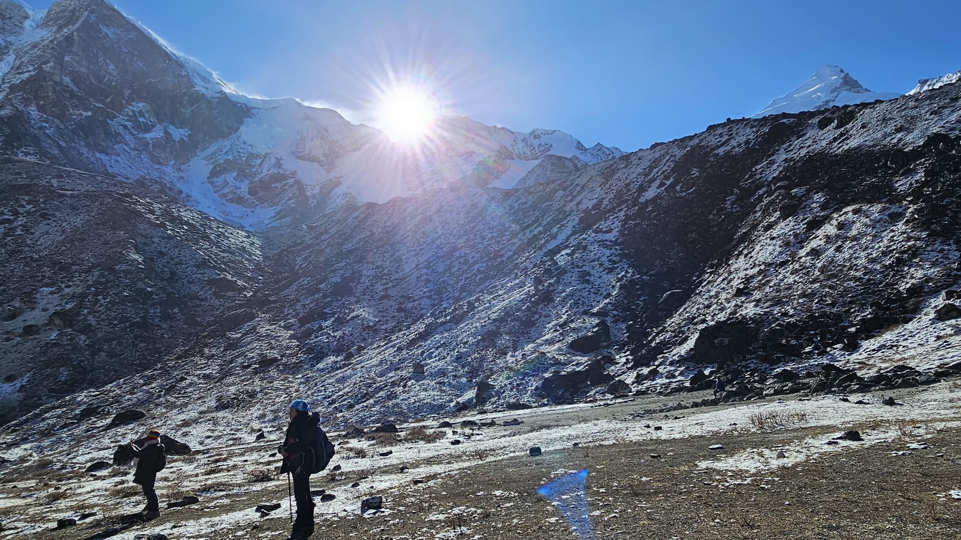
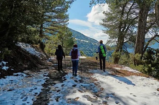
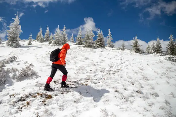
Distinctive Landscapes on the Route
Forest Zones
- Oak, pine, and magnolia trees
- Birdlife and the presence of red panda once in a while
Ridge Walks
- Open grassland
- Constant horizons
- Wind-swept viewpoints
Alpine Sections
- Near Sandakphu and Phalut
- Hilly landscape and extended breathtaking falls
Lists – Why the Trek Has a Reputation for Great Visibility
Weather-Driven Factors
- Low humidity in autumn
- Blown early winds clearing off the clouds
- Sharpness of vision is enhanced by recent rainfall (out of monsoon)
Terrain-Driven Factors
- Positioning of ridge at high altitude
- Slim barriers caused by trees
- Open valley-facing paths
Trekker-Driven Factors
- Early start times
- Choosing correct seasons
- Arranging viewing windows of sunrise/sunset
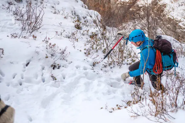
Viewpoint Safety Considerations
High Winds
Phalut and Sandakphu frequently have strong winds.
Low Temperatures
The wind chill can reduce the temperature to a level lower than the freezing point.
Fog and Trail Visibility
There is a tendency of occurrence of thick fog patches closer to Kalipokhri and Gairibas.
Inspirational Quotes
The trail has its companion on the Singalila Ridge and this is the horizon.
The outline of the Himalayas is recreated by every dawn at Sandakphu.
Slow walking makes the mountains appear nearest to the mind.
FAQ
What are the mountains visible on the sandakphu phalut trek?
Everest, Lhotse, Makalu, Kanchenjunga and a number of secondary Himalayan mountains.
Which viewpoint is the most appropriate regarding Kanchenjunga?
Phalut gives the best and brightest picture of the Sleeping Buddha image.
Is the hiking good enough to be done by beginners?
Yes. It can be rated as moderate and can be dealt with by simple fitness.
When is the most ideal time to conduct the trek in order to have a good view?
The clearest will be found during October–November.
How high is Sandakphu?
Approximately 11,930 feet.
Conclusion
The sandakphu phalut trek is a trek that is most rewarding to walk around the Himalayan Ridge and at the same time offers incomparable views of the Everest and Kanchenjunga ranges with a moderate level of difficulty. Its viewpoints, seasonal brightness, long forests and ridge tea houses make it a greatly memorable trekking experience. When prepared and done at the right time, the American trekkers can enjoy the world-class Himalayan view, spectacular sunrise, and some of the best mountain panoramas available in the world.