Thesandakphu phalut trek is ranked among the most scenic walks in the Himalayan ridge in the entire world presenting the world with the Everest cluster and the Kanchenjunga massif that is well seen. This trek is located on the border of India and Nepal and can be approached by beginners, but is also rewarding enough to the experienced hikers. Long walks along ridges, changing scenery, and gradual increase in altitude make a guided itinerary a necessity in trekkers in the United States who desire a safe, familiar and planned trip.
This guide gives a clear itinerary in real time, day by day with easy, moderate, and fast-moving trekkers being the target audience. It also describes the condition of the routes, the gain, the time that will be expected in a day, the highlights of trails and accommodation facilities.

Trek Overview
Trekking newcomers should get acquainted with the rudimentary outline of the sandakphu phalut trek i.e. origin, altitude acquired, and the surface to be covered before plunging in the finer details of the schedule.
Table 1: Core Trek Summary
| Category | Details |
| Total Duration | 6–8 days |
| Maximum Altitude | 11,930 ft (Sandakphu) |
| Total Distance | 45–60 miles depending on route |
| Best Seasons | March–May, October–November |
| Difficulty | Moderate |
| Countries Crossed | India & Nepal (border ridge) |
Day by Day Itinerary of All Skill Levels
The itinerary below is appropriate to the majority of trekkers, both beginners and intermediate hikers. Trekkers can condense days, whereas slow trekkers can lengthen days.
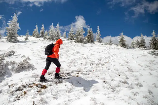
Day 1 – Arrival Manebhanjan (6,400 ft)
The journey starts at Manebhanjan, a small frontier town and Darjeeling.
What You Do on Day 1
- Full registration of the instrument.
- Check or hire trekking equipment.
- Stay in a homestay or lodge
- Briefing with guides (one might need to hire a guide) before the trek.
Hack: There are also Land Rovers of vintage type in Manebhanjan that would act as reserve means of transportation in the case of emergency.
Day 2 – Manebhanjan to Tumling (9,600 ft)
Distance: ~7 miles
Time: 6–7 hours
Route Notes
The path starts with a steep ascending forest path. The Chitrey monastery can be seen at the start of the route and it is a serene first impression.
Highlights
- First entry point into Nepal border.
- Low Himalayan hills ridge views.
- One night stay in a Nepal tea house.
Day 3 – Tumling to Kalipokhri (10,400 ft)
Distance: ~8 miles
Time: 6 hours
Route Notes
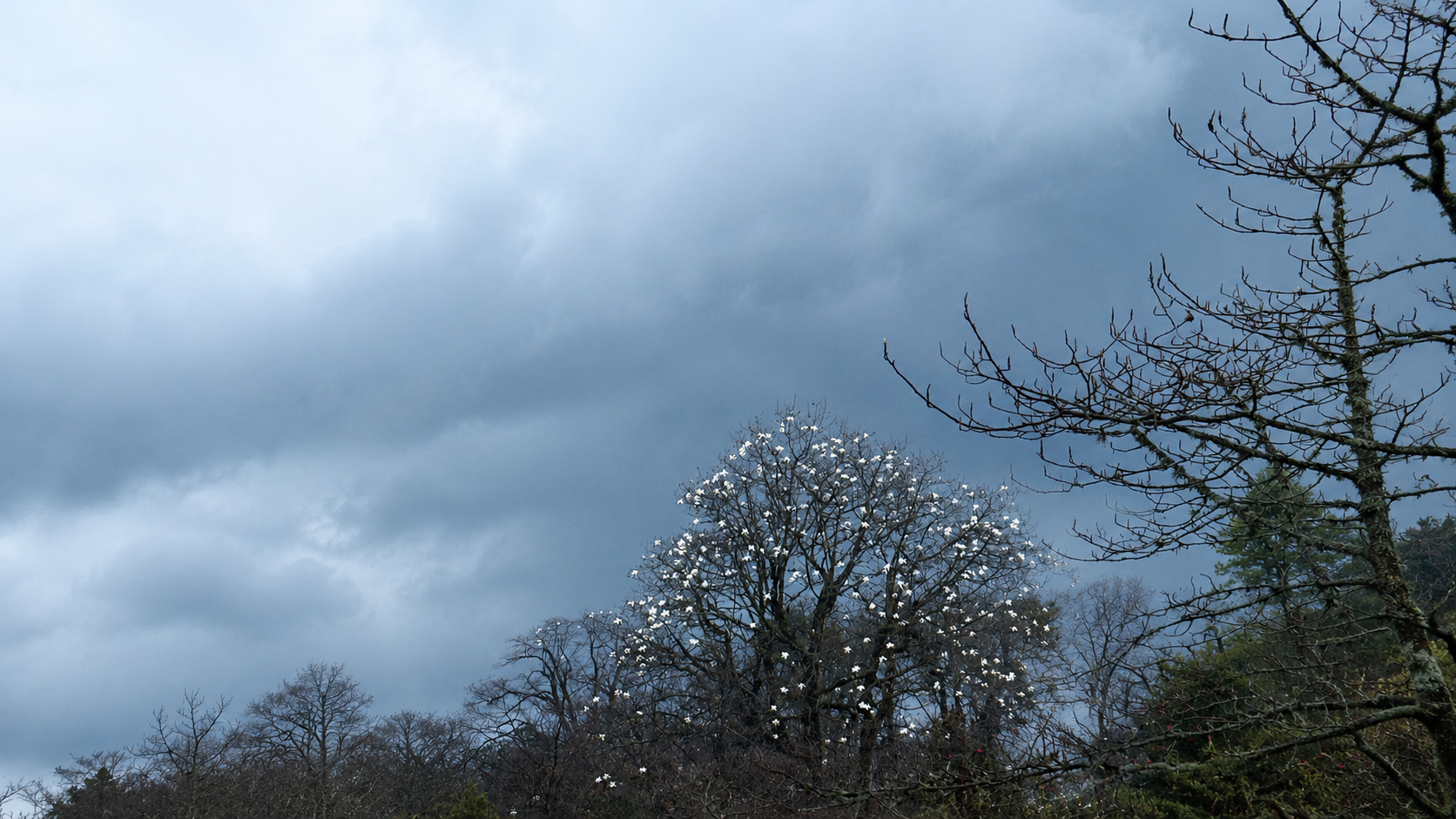
The trail goes on through the thick bamboo, magnolia, and rhododendron forests. There are some cobblestone pieces visible.
Highlights
- Initial distinct sight of the Sleeping Buddha structure.
- The holy black-water lake of Kalipokhri.
- Hot tea shops and plain food.
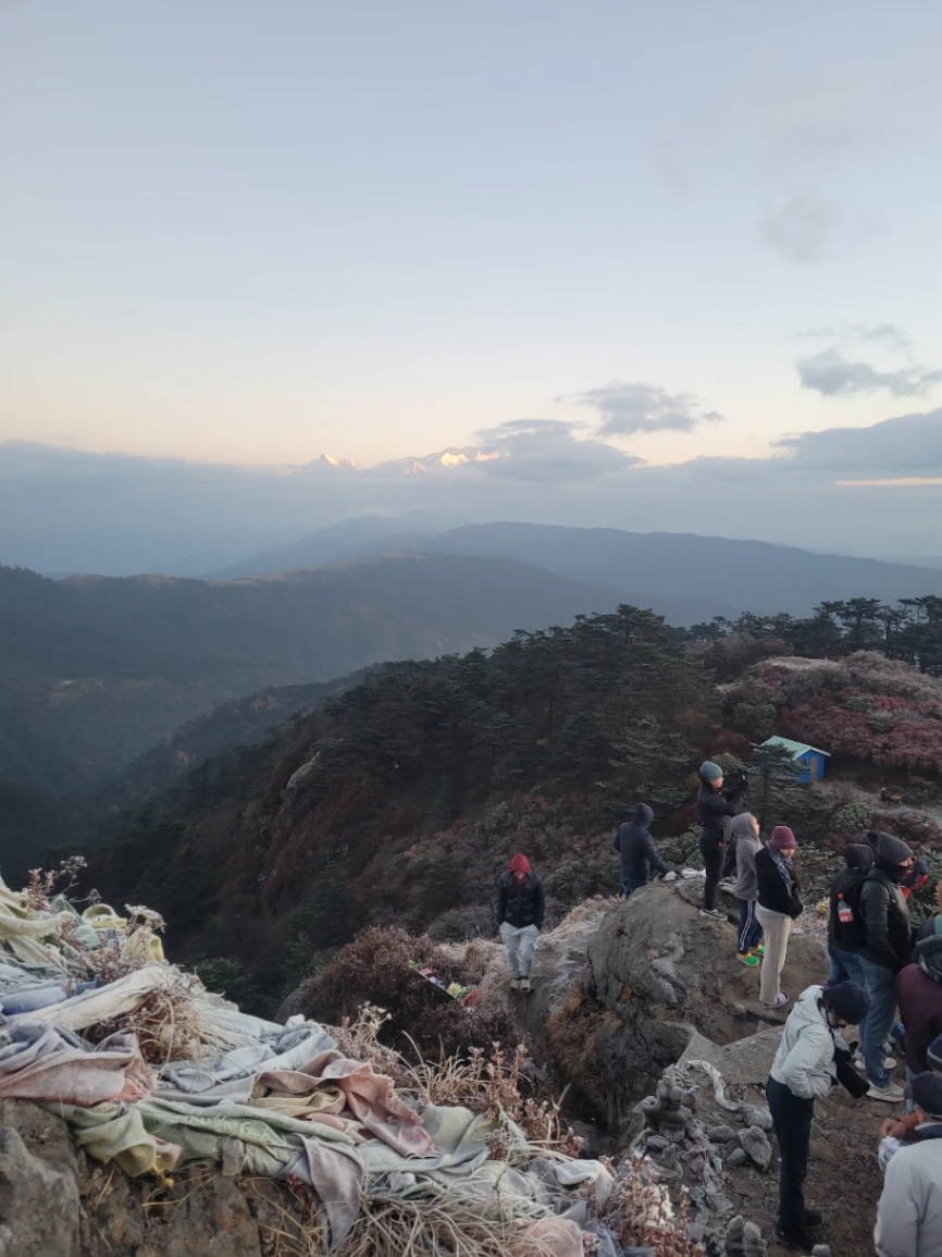
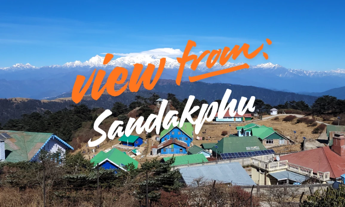
Day 4 – Kalipokhri to Sandakphu (11,930 ft)
Distance: 4–5 miles
Time: 3–4 hours
Route Notes
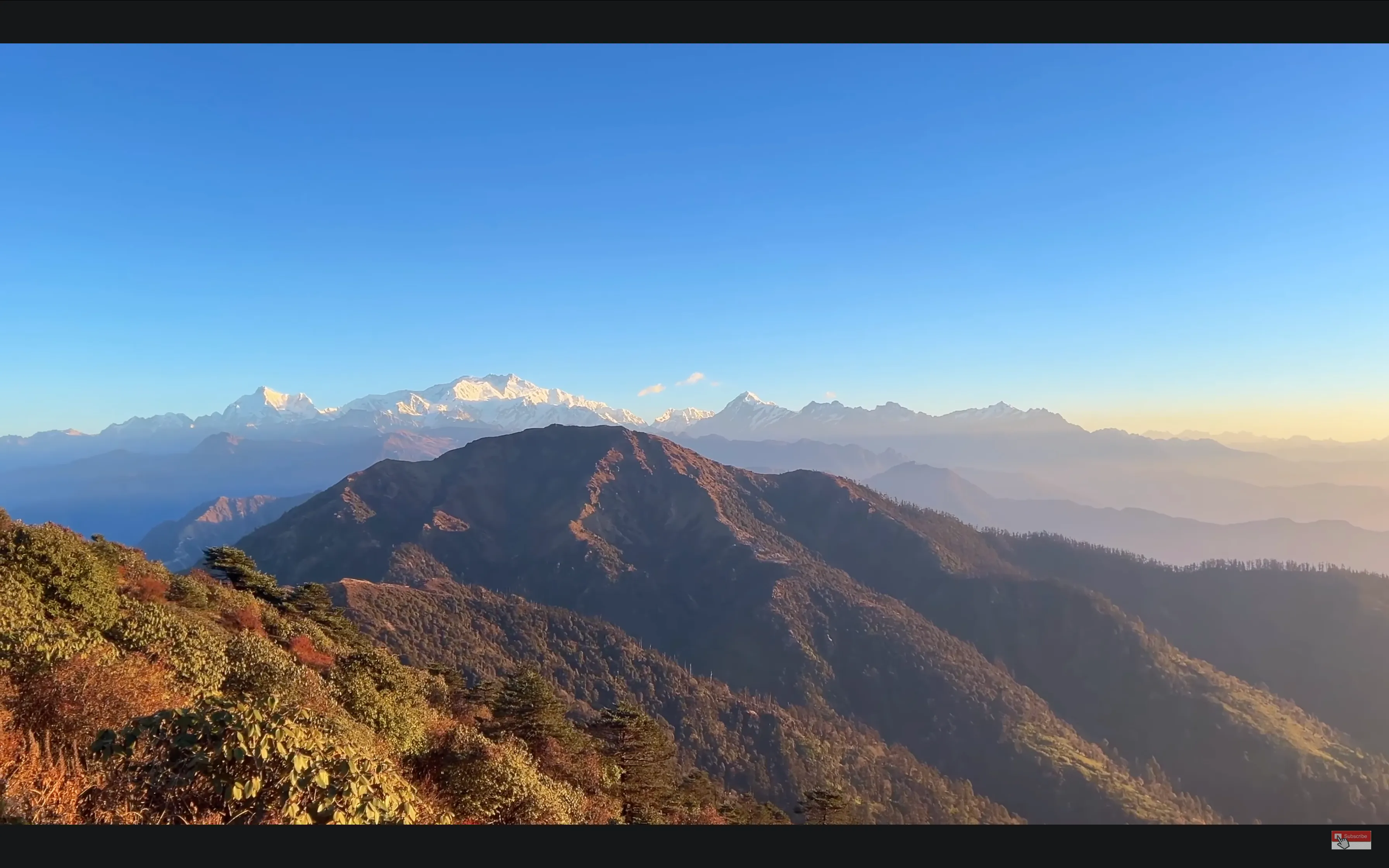
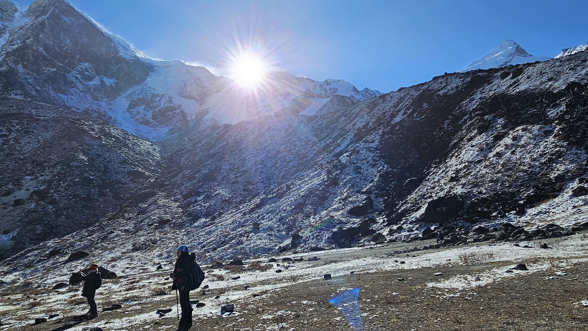
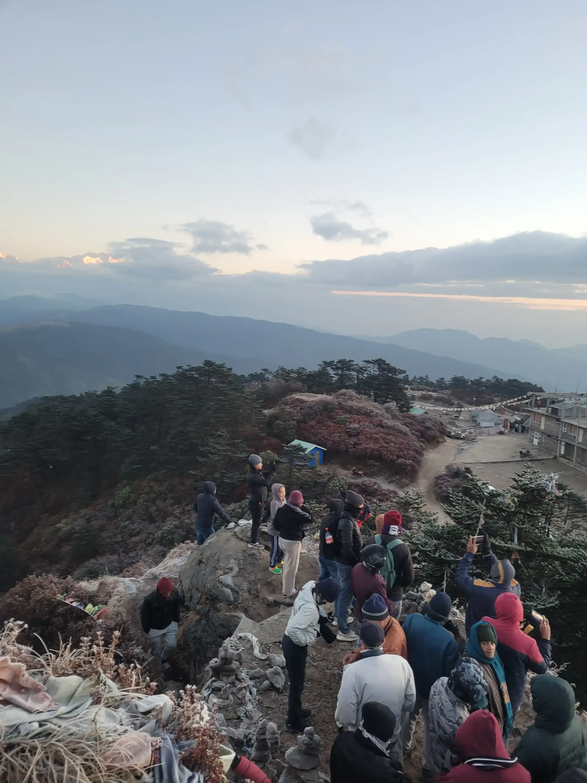
This is the most inclined part of the sandakphu phalut trek, and most rewarding at the same time. Open ridges are good sources of good winds and broad horizons.
Highlights
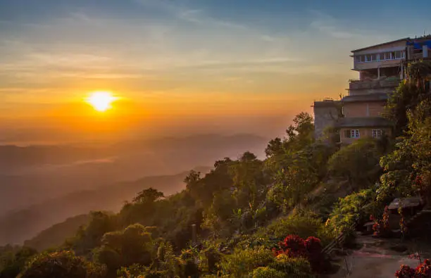
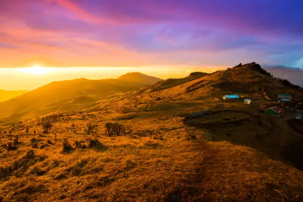
- Sunrise or sunset at its peak Golden peak.
- Everest-Lhotse-Makalu-three views.
- Full Sleeping Buddha view
- Worst night of the whole journey.
Day 5 – Sandakphu to Sabargram/Molley (11,000–11,200 ft)
Distance: ~9 miles
Time: 6–7 hours
Route Notes
It is a lengthy walk on the edge to-day—one of the prettiest sections of the whole path.
Highlights
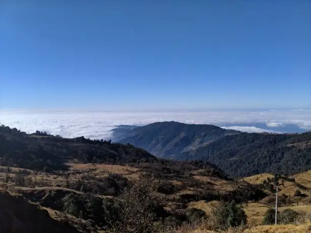
- Wall to wall view of Himalayas.
- Optimal conditions of photography.
- Open grass lands and smooth pathways of ridges.
Day 6 – Sabargram to Phalut and Down to Gorkhey
Distance: 12–14 miles
Time: 7–8 hours
Route Notes
It goes up to Phalut, the second-highest point, and then a lengthy fall through the forest to Gorkhey.
Highlights
- The nearest look at the Kanchenjunga massif.
- Semicircular streets and game walks.
- The gorgeous village of Gorkhey on the bank of the rivers.
Day 7 – Gorkhey to Srikhola
Distance: 7–8 miles
Time: 4–5 hours
A gentle walk through the forest by rivers and farmlands.
Day 8 – Srikhola to Rimbik and Transfer Back
Distance: 7–9 miles
Trekkers complete the trail in Rimbik and get back to Manebhanjan or Darjeeling using Jeep.
Table 2 – Day-Wise Distance and Altitude Breakdown
| Day | Location | Altitude | Distance |
| 1 | Manebhanjan | 6,400 ft | — |
| 2 | Tumling | 9,600 ft | ~7 miles |
| 3 | Kalipokhri | 10,400 ft | ~8 miles |
| 4 | Sandakphu | 11,930 ft | ~4–5 miles |
| 5 | Sabargram | ~11,200 ft | ~9 miles |
| 6 | Phalut → Gorkhey | 11,811 ft → 7,500 ft | ~12–14 miles |
| 7 | Srikhola | 6,000 ft | ~7–8 miles |
| 8 | Rimbik (Exit) | 6,500 ft | ~7–9 miles |
Skill-Level Adjustments
For Beginners
- Move slowly on steep ascents
- Use trekking poles
- Select tea houses that are heated.
- Plan 7–8 days instead of 6
For Intermediate Trekkers
- Merge day 5 and 6 (where necessary).
- Carry hydration packs
- Keep regular speed on ridges.
Among Fast/Experienced Trekkers
- Complete in 4–5 days
- Spend but one night at Sandakphu.
- Strive to have early starts so as to have high visibility.
Expected Weather Patterns
Spring (March–May)
- Flowering rhododendrons
- Breaking mornings and sultry afternoons.
- Clear morning views
Autumn (October–November)
- Best visibility
- Crisp, stable air
- Cold nights
Winter (December–February)
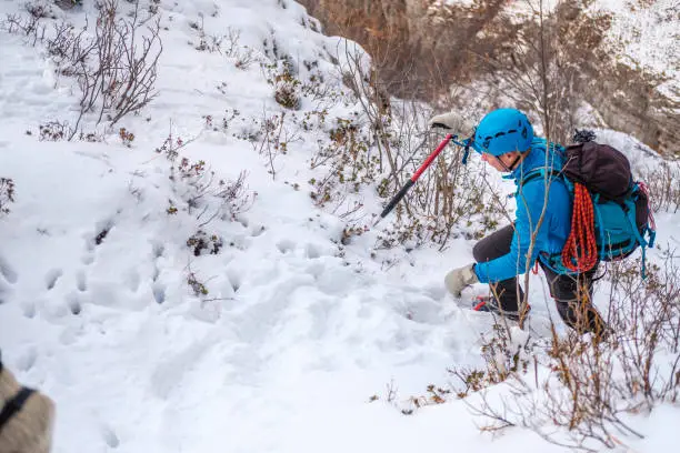
- Freezing temperatures
- Possible snow cover
- Low crowds
Monsoon (June–September)
- Fog and zero visibility
- Slippery trails
- Not recommended
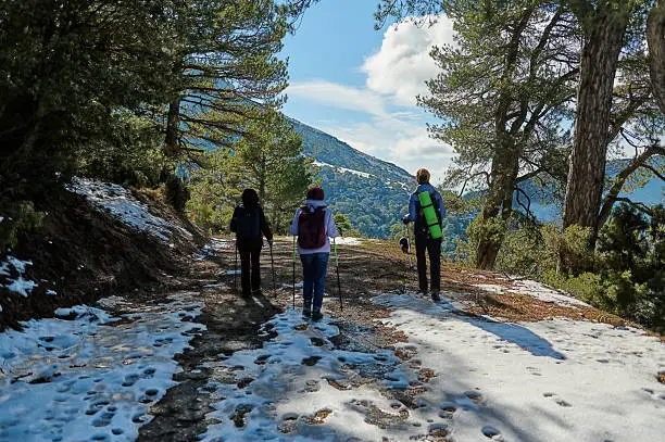
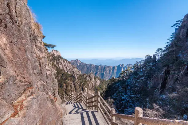
Terrain Conditions
Forest Sections
- Moist soil
- Occasional wooden bridges
- Poor visibility in rainy seasons.
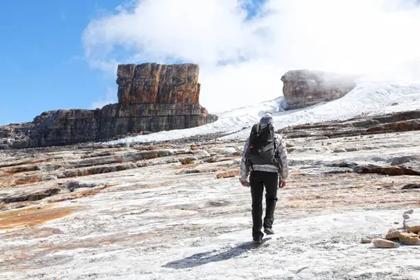
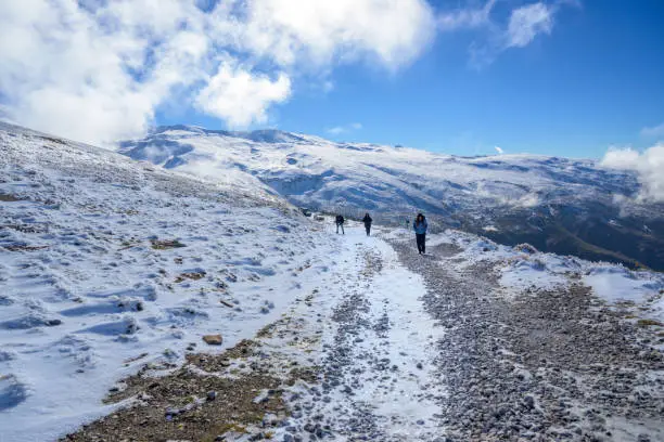
Ridge Walks
- Continuous wind
- Constant views
- Long, undulating terrain
Cobblestone Sections
- Hard on the knees
- Needs ankle support shoes.
The Possibility of Accommodation Along the Trek
Tea Houses
- Basic rooms
- Simple meals
- Solar-powered electricity
Trekker Huts
- Dormitory style
- Shared washrooms
Guesthouses
- Slightly better insulation
- Limited hot water
Essential Packing List
Clothing
- Thermals
- Down jacket
- Waterproof layers
- Quick-dry trekking pants
Gear
- Trekking poles
- UV-protective sunglasses
- Headlamp
- Power bank
Nutrition & Hydration
- Energy bars
- Oral rehydration salts
- Electrolytes
Safety Notes
Common Issues
- Fatigue
- Mild altitude discomfort
- Dehydration
Prevention
- Ascend slowly
- Stay hydrated
- Avoid alcohol
Quotes
The world seems to be wider on the ridge at Sandakphu.
The lesson of Sunrise at Phalut is patience and reward.
When the trip is bigger than the destination, then it makes the trek memorable.
FAQs
What is the degree of challenge of the sandakphu phalut trek?
It is fairly challenging, being average fitness.
What is the summit of the trek?
Sandakphu at 11,930 ft.
Which is the right time of the year to undertake the trek?
The months of October-November and March-May.
Do the routes have accommodations along the way?
Admittedly, tea houses, trekker huts and guesthouses.
Do I need a guide for the trek?
It is not compulsory but it is advisable to first time trekkers.
Conclusion
The sandakphu phalut trek is considered to be one of the best ridge treks in Himalayas that provides the best sight of four out of the five tallest mountains in the world. Having a well-laid day to day programme, both novices and experienced hikers (both the beginners and the more advanced hikers) can safely enjoy the trail. This trek is perfect to the trekkers of the United States who wish to explore the Himalayan trek in a medium, but rewarding manner, comprising of ridge walks, forest trails, picturesque villages and stunning sunrise views. The journey would be a great experience as it would be planned, paced, and given the timing of the season.