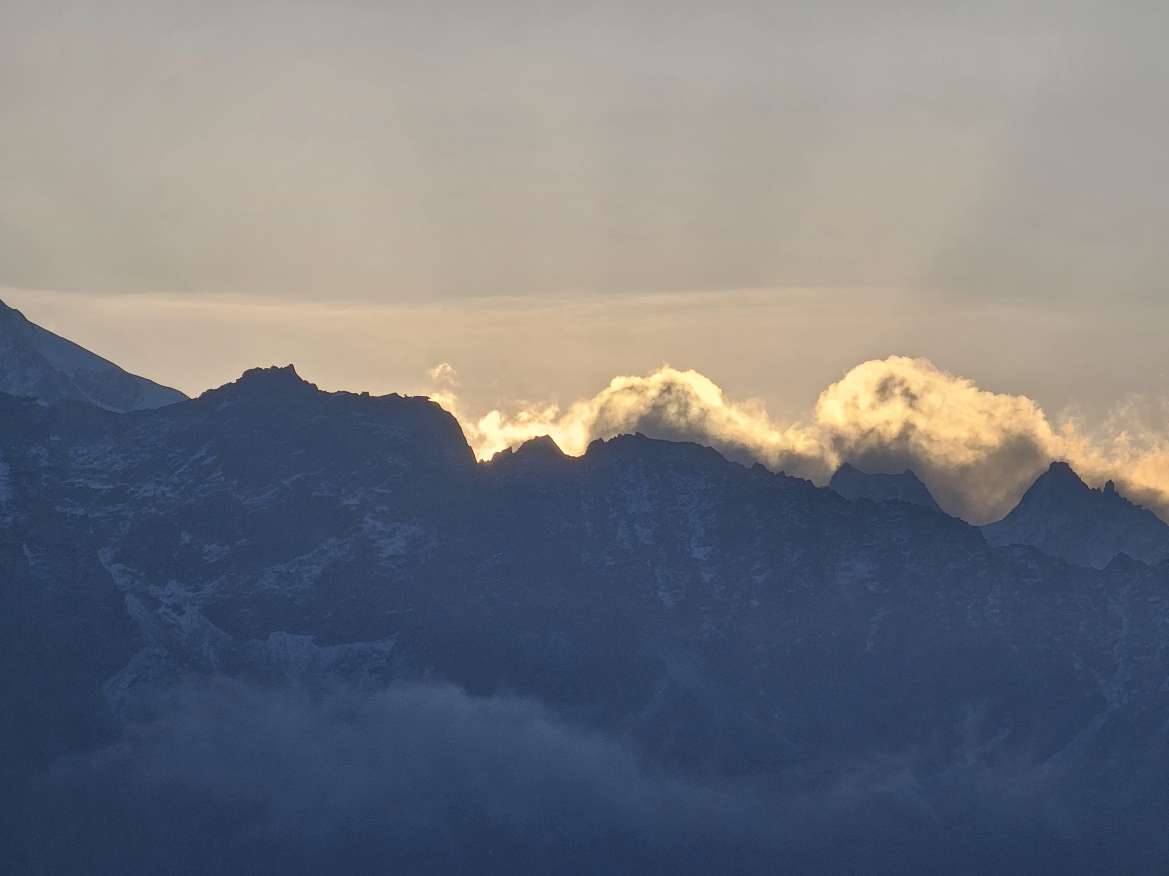
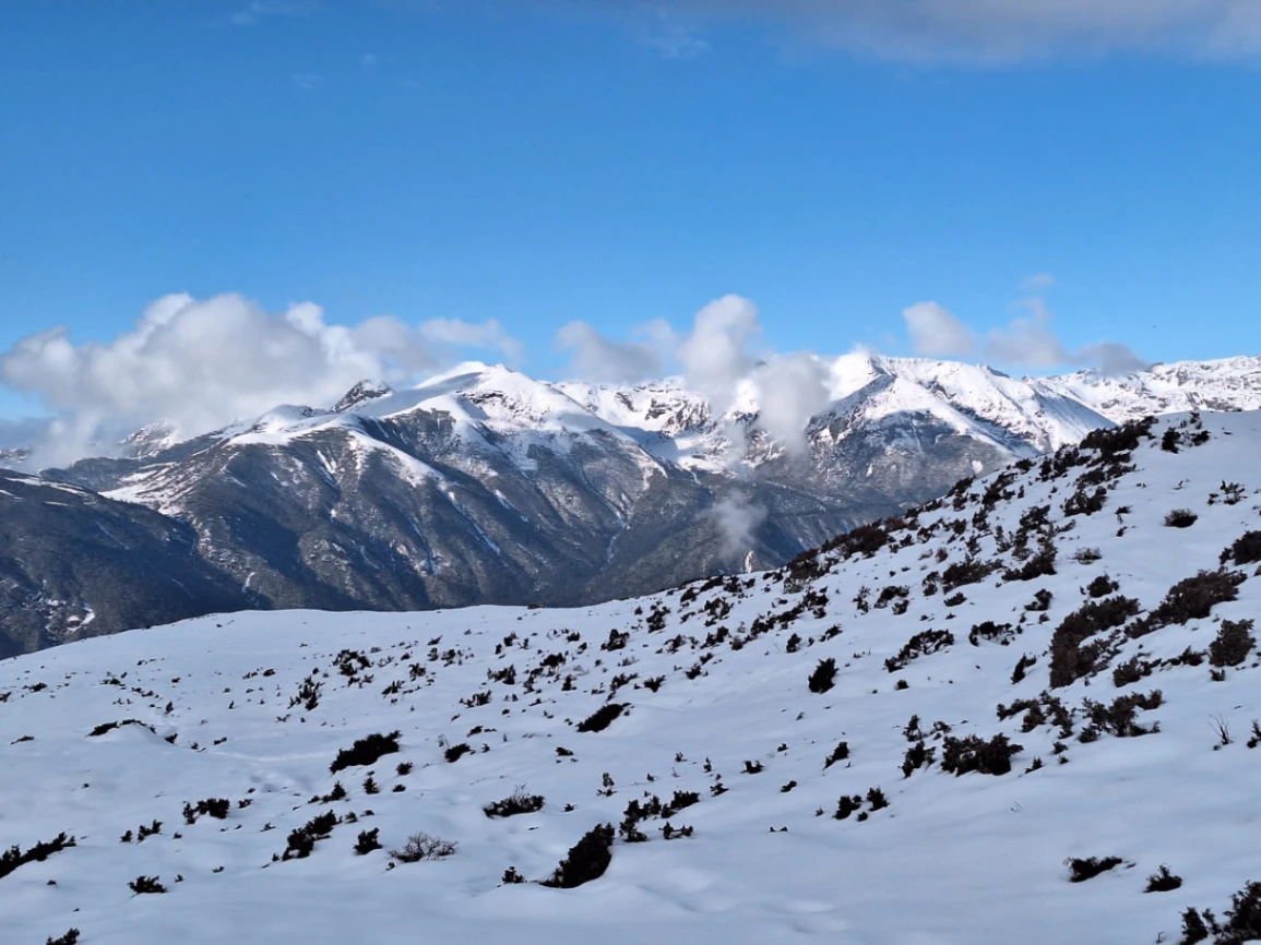
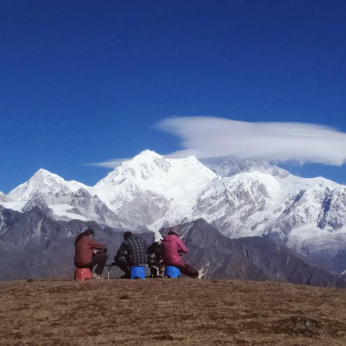
The Singalila Goechala Circuit Trek is one of the longer trekking routes in West Sikkim. The trail starts from Uttarey and slowly makes its way through the remote Singalila region before joining the classic Goechala route towards Dzongri, Thangsing, and the Kanchenjunga mountain area.
Most trekkers approach Goechala from Yuksom, but this circuit provides an alternative way of reaching the high mountains. In contrast, the Uttarey side feels quieter at first. The trail leads along forest paths, small mountain settlements, and long ridge sections where the feeling of being far away from normal life becomes stronger with each passing day.
The first leg of the trek is not about dramatic high peaks. It is about settling into the mountains. Your body becomes accustomed to walking every day, carrying a rucksack on your back and following the simple routine of Himalayan camping.
As you go higher, the surroundings slowly change. The forests become thinner, the temperature begins to drop and the open mountain landscape appears. Later, after joining the Goechala section, the scenery becomes more alpine, and the main attraction is the peaks of the Kanchenjunga region.
Goechala is certainly a highlight, but this trek has more to offer than just one viewpoint. The cold mornings, quiet campsites, weather changes, long walking days and small moments on the trail are all equally important parts of the journey.
Some flexibility is always required on a trek of this length. Weather, trail conditions, permits and the speed of the group can all influence the daily schedule. The itinerary below explains the usual route, but Himalayan trekking always requires a few adjustments.
Day 1: Arrival In Uttarey – Trek Preparation Day
Route: Bagdogra Airport / NJP → Uttarey
Distance: Approx. 150–165 km by road
Driving Time: Roughly 6–8 hours
Elevation: Approx. 1,950 m
Accommodation: Hotel / Homestay
The first day is mainly to reach Uttarey and get ready for the trek.
You can drive to western Sikkim from Bagdogra Airport or New Jalpaiguri Railway Station. The road gradually leaves the plains behind, climbing into the hills along winding roads, past small villages and forest-covered slopes.
The journey takes time, but it is part of the experience. It helps you understand the region before you start walking. The busy roads slowly fade away and the quieter surroundings of the mountains begin to appear.
Uttarey is a small village near the Nepal border area. It is a peaceful place compared to the more popular trekking bases of Sikkim. It is a comfortable place to rest before starting a long Himalayan route.
The team usually reserves the evening for last-minute preparations. The trekking team checks the equipment, discusses the route and helps pack the bags. This is a good opportunity to make small adjustments before entering the mountains.
Check your shoes. Keep frequently used items close. Do not carry things you do not need. A well-organised backpack makes daily trekking much easier.
Please try to get to bed early tonight. The next morning begins the walking part of the trip.
Day 2: Uttarey To Chewabhanjang
Route: Uttarey → Chewabhanjang
Walking Distance: Approximately 13–15 km
Walking Time: 6–7 hours
Altitude: About 1,950 m to 3,100 m
Stay: Camping
The first day's trekking takes you to the Singalila side of western Sikkim.
The trail gradually leaves Uttarey and enters mountain paths covered with forest. This route allows for some acclimatisation to walking with a backpack, unlike some Himalayan treks where the altitude rises rapidly from the very first day.
Day one is usually about getting comfortable with the routine.
Many trekkers feel energetic at the beginning and walk faster than they need to. However, this is a lengthy journey, and conserving energy from the outset significantly impacts later stages.
The noise around you fades as the trail climbs. There are fewer houses, road sounds disappear, and slowly you feel deeper inside the mountains.
The trek’s first campsite is at Chewabhanjang. Once at camp, the routine is simple — clean up, eat a warm meal, organise your gear and rest.
The first night in the mountains is often the moment when trekkers realise that the days ahead will follow a very different rhythm from normal life.
Day 3: Acclimatization Day At Chewabhanjang – Phoktey Dara Exploration
Route: Chewabhanjang Camp → Phoktey Dara → Back
Walking Time: 4–5 hours
Altitude: Around 3,500 m
Stay: Tent camping
Today is scheduled as a short day before moving into higher sections.
The walk to Phoktey Dara gives you the first real taste of the open mountain environment. The forest is less dense, the ridges feel wider and the scenery looks different from the lower sections of the trek.
There are two reasons this day is useful.
First, it gives your body time to acclimatise to the changing altitude. Second, it gives you time to resolve small problems before they become uncomfortable later.
This day is an opportunity for trekkers to check:
Backpack balance
- Comfortable footwear
- Layered clothing
- Equipment
At the beginning of a trek, loose straps or uncomfortable shoes may not seem like a big issue, but after many days of walking, small problems can become difficult to manage.
Weather plays an important role here. On some days, the mountains are clearly visible, while on other days it is cloudy or hazy. Visibility in the Himalayas can change within minutes.
Today is not about distance. It is preparation — giving your body, mind and equipment time to get ready for the higher sections ahead.
Day 4: Chewabhanjang To Upper Singalila Camp
Route: Chewabhanjang → Upper Singalila Region
Walking Time: 6–8 hours
Terrain: Mountain ridges, open sections and forest trails
Stay: Camping
The first few days are set around forests and lower mountain landscapes. From today, the trek will begin to feel more remote.
The walk starts from Chewabhanjang and slowly climbs up to the higher reaches of the Singalila area. The road still cuts through bits of forest, but the landscape slowly opens up. Trees become shorter, ridgelines become more visible and the views begin stretching much farther than before.
This section is also where the nature of ridge walking becomes clear.
While trees typically surround forest trails, ridge sections expose you to the full mountain environment. The wind is stronger, weather changes are easier to notice and the walking pace naturally becomes slower.
We do not just cover the distance today. Your body is adapting to many things at once — carrying a backpack every day, sleeping in camps and walking at higher altitudes.
You do not need to compete with other trekkers.
This section should be completed at a pace that feels comfortable for you. Stop when needed, drink water regularly and enjoy the changing scenery around you.
Silence is one of the things that makes the Singalila approach special. Long stretches of the trail feel completely away from busy trekking routes. For hours, you may only have your group for company, hearing nothing except footsteps and mountain wind.
It is best to reach camp by evening. It’s a familiar routine: warm food, getting your sleeping space ready, looking at the route for the following day, and resting before another mountain morning.
Trekking tip: Pack a windproof jacket and rain cover. Conditions can change rapidly on exposed ridges.
Day 5: Higher Singalila Camp To Sikkim Meghu
Route: Sikkim Sikkim- Lam Pokhari
Distance covered: ~10-12 km
Walking time: 5 – 6 hours
Altitude: approx. 4300 m
Terrain: Alpine slopes, open mountain terrain and gentle rises.
Camp Stay:
Today is where the trek begins to feel like a proper high-altitude trek.
The remaining patches of forest become fewer and fewer and the trail emerges into a more open mountain environment. Compared with the lower sections near Uttarey, the landscape feels wider, quieter and more exposed.
The route passes through higher sections of western Sikkim where villages are sparse and the landscape feels much more open.
You have left most of the forests from the early part of the trek behind. The vegetation becomes smaller, the air feels colder and the mountains begin to dominate the surroundings.
Many trekkers notice a few changes at this altitude.
You may not walk as fast as you did during the first few days. Short climbs can feel longer and your body may take longer to recover once you get to camp.
This is a normal part of high-altitude trekking.
The best approach is simple: eat enough, drink regularly and allow your body time to adjust.
Sikkim Meghu is a quiet campsite where you can feel the remoteness of this route. There are no shops, roads or regular facilities nearby. The mountain environment completely shapes your day.
Evenings are normally quiet. After dinner, most trekkers prefer getting into their sleeping bags early because the next sections continue further into the high mountains.
A good night's rest here is more valuable than staying awake late at camp.
Day 6: Sikkim Meghu – Lam Pokhari
Route: Sikkim Meghu → Lam Pokhari
Distance Walked: Approx. 10–12 km
Time to Walk: 5–6 hours
Altitude: Approx. 4,300 m
Terrain: Alpine slopes, open mountain terrain and gentle climbs
Stay: Camping
Today is when the trek starts feeling like a true high-altitude journey.
The remaining patches of forest become fewer and fewer and the trail emerges into a more open mountain environment. Compared with the lower sections near Uttarey, the landscape feels wider, quieter and more exposed.
The walk is not very long, but the change in altitude makes it feel different.
At this elevation, the body does not respond in the same way as it does at lower altitudes. A climb that feels easy during the first few days can require significantly more effort at this altitude. Breathing becomes heavier, walking slows down and short breaks become part of the day.
This is where patience becomes more important than speed.
Lam Pokhari is a remote campsite surrounded by rugged Himalayan scenery. Part of the experience is the simplicity of this place. There are no distractions, no nearby facilities, and no easy way to escape the mountain environment.
After dark, temperatures can drop quickly. Keeping warm layers, gloves and essential items ready makes the evening more comfortable.
Once at camp, there is little reason to push yourself further.
Rest well. Have your meals. Prepare your things for tomorrow.
The upper sections of the trek are not about moving quickly. It’s about allowing your body to adapt while enjoying the environment.
Day 7: Lam Pokhari To Gomathang
Route: Lam Pokhari → Gomathang
Walking Time: 5–6 hours
Altitude: Approx. 3,700–3,800 m
Terrain: High trail followed by descent
Stay: Camping
Today feels different because the route begins losing altitude after several days of climbing higher.
The morning begins in the open landscape of Lam Pokhari. After spending time above 4,000 meters, the gradual descent towards Gomathang brings noticeable changes in scenery and walking conditions.
Many trekkers feel some relief on the way down. Breathing is often easier, and the body feels slightly more comfortable compared with the higher camps.
However, downhill walking in the Himalayas has its own challenges.
Your legs are already carrying built-up tiredness after several days on the trail. Long descents, uneven stones, and rocky sections can put pressure on your knees and ankles, particularly if you're carrying a backpack.
This trek is a day when it is more important to walk carefully than quickly.
Smaller steps are easier to balance and you won’t be putting unnecessary pressure on the body. Trekking poles can also help on uneven sections.
Gomathang feels different from the open camps above. The surroundings are calmer, and the campsite provides a wonderful opportunity to rest before moving towards the Goechala section.
Today also reminds trekkers of an important part of Himalayan travel:
Reaching the highest point is not the only measure of a successful trek.
Knowing when to slow down, recover and conserve energy is equally important.
A quiet night at camp prepares you for the longer days ahead.
Day 8: Gomathang To Pangding
Route: Gomathang → Pangding Area
Walking Distance: Approx. 14–16 km
Walking Time: 7–8 hours
Altitude: Approx. 4,000 m+
Terrain: Combination of mountain trails, climbs and open sections
Stay: Camping
Today is one of the longer walking days of the circuit.
The challenge does not come from any particular climb. It comes from the combination of distance, altitude and the tiredness that naturally develops after spending many days in the mountains.
By this stage, most trekkers understand their own walking rhythm.
Some people enjoy walking at a steady pace with few stops, and others prefer to walk more slowly and to stop more often. Both approaches work. The important thing is not to exhaust yourself unnecessarily.
The trail continues through remote parts of western Sikkim, where the feeling of being away from everyday life becomes stronger. Many sections pass through mountain landscapes with very few signs of settlement.
This trek is also the stage where small habits become important.
Eat regularly, drink enough water and keep your energy levels steady. Many trekkers do not feel famished at altitude, but the body still needs enough fuel.
The route gradually moves closer to the Goechala side of the journey. The high Himalayan environment ahead makes the landscape feel more connected.
Reaching camp after a long day feels rewarding.
The rest of the evening is spent eating, recovering and preparing for the next stage.
Day 9: Pangding To Dzongri
Route: Pangding → Dzongri
Walking Distance: Approx. 10–12 km
Walking Time: 6–7 hours
Altitude: Approx. 3,900 m
Terrain: Mountain trails linked with Goechala route
Stay: Camping
Today is a significant transition point on the journey.
After several days on the quieter Singalila trails, the route connects with the famous Goechala trekking section, which leads to Dzongri.
This is where the feeling of the trek changes.
The first part of the circuit is about remote trails, silence and exploring a less-used approach to the Himalayas. At Dzongri, trekkers enter a more familiar trekking landscape in Sikkim.
Dzongri is one of the well-known camps in the region. It is an important resting point before continuing towards Thangsing and the Goechala viewpoint.
The open surroundings around Dzongri are especially beautiful during early mornings and evenings. In clear weather, the changing light on the surrounding peaks creates a memorable mountain atmosphere.
However, the difficult sections do not end upon reaching Dzongri.
The higher route towards Goechala still requires careful pacing. Everyone responds differently to altitude, and proper rest becomes increasingly important.
The evening is best spent quietly.
Have a delicious meal, check your gear and prepare for the next section of the journey.
Day 10: Dzongri To Thangsing
Route: Dzongri → Kokchurang → Thangsing
Walking Distance: Approx. 10 km
Walking Time: Around 6 hours
Altitude: Approx. 3,800–3,900 m
Terrain: Descent followed by valley walking
Stay: Camping
The walk from Dzongri to Thangsing is one of the memorable sections of the Goechala route.
The day starts with a descent towards Kokchurang and then continues through the valley. Many trekkers are surprised that the trail does not go directly up to Goechala.
But Himalayan trails are rarely straight.
The route follows the shape of the mountains. Occasionally the trail descends before climbing again.
The terrain becomes more alpine as you move towards Thangsing. The forests become smaller, open spaces increase and the mountains feel much closer.
Thangsing is an important campsite because it brings trekkers closer to the final approach to Goechala.
The atmosphere is usually quiet. After reaching camp, most trekkers rest, organize their equipment, and prepare for the higher sections ahead.
Temperatures can fall quickly after sunset, so keeping warm clothing ready before evening is always useful.
A good rest tonight is valuable because the most anticipated section of the trek is approaching.
Day 11: Thangsing To Lamuney
Route: Thangsing → Lamuney
Walking Distance: Approx. 4–5 km
Walking Time: 2–3 hours
Altitude: Approx. 4,200 m
Terrain: Gentle uphill alpine trail
Stay: Camping
Today is a short walking day, but it is an important part of the entire journey.
The purpose of reaching Lamuney is not to cover a long distance. It is to move closer to Goechala and prepare for the early morning viewpoint attempt.
The trail from Thangsing to Lamuney is gradual, but the altitude becomes noticeable. Above 4,000 metres, the body takes longer to complete even simple tasks.
A short walk, adjusting your backpack, or moving around the campsite may feel slower than it did a few days earlier.
The landscape is now entirely different from the start of the trek.
The forests and villages of Uttarey feel far away. The trees are almost gone, the surroundings are wide and open, and the mountains fill the horizon.
Most people who go trekking spend the afternoon resting and getting ready for the next day.
This is the time to pack your day bag, keep warm clothes ready and verify essentials such as water, snacks, gloves and headlamps.
It may be tempting to explore around camp, but conserving energy is more important.
The next day is the longest and most anticipated section of the circuit.
A satisfying meal and adequate rest tonight can significantly impact your performance.
Day 12: Lamuney – Goechala Viewpoint – Return To Thangsing / Kokchurang
Route: Lamuney → Goechala Viewpoint → Return
Total Walking Distance: Approx. 14–18 km
Walking Time: Approx. 8–10 hours
Altitude: Approx. 4,900–5,000 m
Terrain: Rocky trails, moraine sections and exposed high-altitude terrain
Stay: Camping
This is the day many trekkers have waited for since the beginning of the circuit.
The morning usually starts before dawn. Starting early allows the group enough time to reach the viewpoint area and return safely before conditions become more difficult later in the day.
The first part of the walk feels very different from the earlier sections of the trek. The silent darkness, cold air and empty mountain surroundings create a special atmosphere.
It is not a technical climbing route, but the altitude makes it challenging.
Each step requires more patience. Breathing becomes heavier, walking speed naturally slows and short breaks become necessary.
As you approach Goechala, the journey of the previous days begins to make sense. The forests, ridges and camps from the Singalila side have slowly taken you into the high Himalayan landscape of the Kanchenjunga region.
On a clear morning, the views from the Goechala viewpoint area can be unforgettable. The mountain surroundings create a moment that many trekkers remember for years.
However, mountain conditions are never guaranteed.
Clouds can appear quickly. Wind can become stronger. Even after all the effort required to reach this point, the mountains may remain hidden.
That uncertainty is part of Himalayan trekking.
The achievement involves more than just reaching the viewpoint.
It is arriving at a high Himalayan location after days of walking, adapting and continuing through changing conditions.
After spending time at the viewpoint area, the group begins the return journey.
The descent may feel easier, but tiredness is usually noticeable. Maintain a steady pace and save energy until you safely reach camp.
Day 13: Thangsing / Kokchurang To Tshoka
Route: Thangsing / Kokchurang → Tshoka
Walking Distance: Approx. 15–18 km
Walking Time: 7–8 hours
Altitude: Approx. 3,000 m
Terrain: Long descent through forests and mountain paths
Stay: Camping / Lodge as per arrangement
After completing the high-altitude Goechala section, the trek begins to descend towards lower elevations.
The change is noticeable almost immediately.
The cold, open landscape of the higher mountains slowly disappears. The air becomes warmer, vegetation returns and the trail gradually moves back into forest surroundings.
Going downhill sounds easier than climbing, but it can still be physically demanding.
Many days of trekking have already passed, with long walking hours and high-altitude sections. Long downhill stretches, stone steps and uneven paths require concentration, especially while carrying a backpack.
Many trekkers find that downhill walking tests the body in a different way.
Today, speed should not be the priority.
A controlled pace protects your knees and helps ensure that you have enough energy to complete the final section of the trek.
As you approach Tshoka, the atmosphere begins changing again. After spending so much time in remote mountain areas, seeing more signs of settlement and regular facilities feels different.
This is the point at which many trekkers realise that the journey is almost complete.
Take the evening slowly.
Rest properly, enjoy the familiar surroundings and think about how much the landscape has changed since leaving Uttarey.
Day 14: Tshoka To Yuksom
Route: Tshoka → Phedang → Sachen → Bakhim → Yuksom
Walking Distance: Approx. 16–18 km
Walking Time: 6–8 hours
Altitude: Tshoka around 3,000 m to Yuksom around 1,780 m
Terrain: Stone steps, forest paths and village sections
Accommodation: Hotel / Guesthouse
The final trekking day brings the Singalila Goechala Circuit back to Yuksom.
The trail continues through forests, traditional mountain paths and sections of the classic Goechala approach route. Compared with the high-altitude landscapes of the previous days, the lower forests feel warmer and more connected with everyday mountain life.
Despite the significant drop in altitude, do not underestimate the last day.
Nearly two weeks of walking means fatigue has naturally built up. Long descents and stone steps can become an unexpected challenge when your legs have already carried you through forests, ridges and high camps.
The last few hours often bring mixed emotions.
There is satisfaction in completing a long Himalayan journey, but also a feeling that the simple mountain routine is coming to an end.
Reaching Yuksom is not just about completing a route on a map.
This journey includes:
Remote mountain trails
Changing landscapes
High-altitude camping
Unpredictable mountain weather
The simple rhythm of a Himalayan trek
After so many days on the trail, a warm meal, a comfortable bed and proper rest feel much more special.
Spend some time in Yuksom relaxing and appreciating the journey you have completed.
Day 15: Leaving Yuksom
Route: Yuksom → NJP / Bagdogra Airport / Gangtok / Next Destination
Travel Time: About 6–8 hours depending on destination
The trek ends after breakfast at Yuksom.
After many days in forests, ridges and high Himalayan landscapes, returning to roads and regular facilities can feel surprisingly different.
Transport to New Jalpaiguri Railway Station, Bagdogra Airport, Gangtok or other destinations can be arranged according to your travel plans.
The drive back through the mountains gives you time to look back at the complete journey — the quiet trails of Singalila, the remote camps, the challenging high-altitude sections and the experience of reaching Goechala.
Far-flung Himalayan journeys are rarely remembered because of only one destination.
What remains in memory are the smaller moments:
The first cold morning in camp
Weather changes on mountain ridges
Long conversations during walking days
The feeling of getting through a difficult section
The small happiness after completing each day
The Singalila Goechala Circuit begins at Uttarey and concludes at Yuksom, but the memories made along the journey often remain much longer than the trek itself.
Final Note Before Booking The Singalila Goechala Circuit Trek
The Singalila Goechala Circuit Trek is a challenging Himalayan adventure for trekkers who enjoy long trails and camping for extended periods in remote mountain settings.
This is not a short sightseeing trip. The trail requires preparation for:
- Long walking days
- High-altitude sections
- Cold mountain conditions
- Basic campsite conditions
- Continuous days on the trail
Previous trekking experience is useful because the challenge comes from the combination of distance, altitude and spending many days away from regular facilities.
The complete experience is the reward of this circuit.
The trek shows many different sides of western Sikkim, from the quiet mountain surroundings of Uttarey to the open ridges of Singalila, from remote camps to the high Himalayan landscape near Goechala.
The viewpoint is important, but the real character of the circuit comes from everything that happens before and after reaching it.
The walking.
The landscapes.
The camps.
The changing weather.
The simple routine of mountain life.
This is what makes the Singalila Goechala Circuit Trek a complete Himalayan experience.