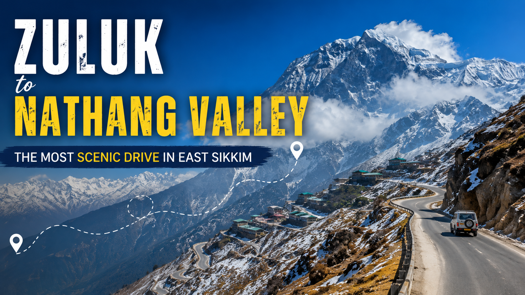
If there is one stretch along East Sikkim’s Old Silk Route that captures the raw, unfiltered dramatic beauty of the Eastern Himalayas, it is the drive from Zuluk to Nathang Valley. Carved along cliffs and high-altitude mountain passes, this short yet intense road trip takes you from a quiet forest hamlet through dozens of dizzying switchbacks up into a vast, cold desert valley.
Whether you are navigating the famous 32 hairpin bends at dawn, looking out over Mount Kanchenjunga from windy mountain ridges, or spending a night in a high-altitude village homestay, this road trip is an absolute bucket-list experience. Here is a complete guide to planning your journey from Zuluk to Nathang Valley.
Route Overview & Essential Trip Metrics
The journey covers a relatively brief physical span, but the dramatic gain in elevation makes it feel like entering an entirely different ecological world within an hour’s drive.
| Route Parameter | Detail & Estimates |
| Primary Route | Zuluk → Thambi Viewpoint → Lungthung → Gnathang (Nathang) Valley |
| Zuluk to Nathang Valley Distance | Approx. 24 km to 30 km (depending on exact homestay drops) |
| Average Drive Time | 1.5 to 2.5 hours (including photography stops) |
| Starting Elevation (Zuluk) | ~2,865 meters (9,400 feet) |
| Zuluk to Nathang Valley Altitude | ~4,115 meters (13,500 feet / ~4,100 m peak points) |
| Road Conditions | Paved mountain asphalt; narrow with sharp turns and steep gradients |
| Permit Checkpoints | Rongli (initial issuing) & Lungthung / Gnathang check posts |
Key Highlights Along the Drive
1. The Iconic 32 Hairpin Bends
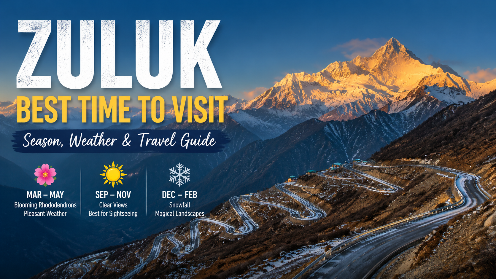
Starting from Zuluk village, the road almost immediately begins its steep climb. This section is world-famous for its engineered switchbacks, tightly looping back and forth across the mountain face. As your vehicle gains height, looking down reveals the intricate ribbon-like pattern of the road below.
2. Thambi Viewpoint (Elevation: 11,200 ft)
Located roughly 14 km from Zuluk, Thambi Viewpoint is the most celebrated observation deck along the circuit.
- Panoramic Vistas: Offers an unobstructed 360-degree view of the entire 32-bend road network coiling through the valley.
- Sunrise Magic: On clear mornings, the first rays of sunlight illuminate the snow-capped peak of Mount Kanchenjunga in shades of gold and amber.
3. Thambi Viewpoint to Lungthung Road
The stretch along the Thambi Viewpoint to Lungthung Road continues to hug the high ridge line.
- High-Altitude Flora: As you cross 12,000 feet, dense rhododendron forests give way to alpine shrubs, rugged moss, and open highlands.
- Lungthung Village (12,500 ft): A tiny settlement perched on the edge of the cliff. During clear weather, you can spot the winding valleys of Bhutan and Bengal stretching out in the distance.
- Monal Spotting: This high-altitude corridor is home to the Himalayan Monal, Sikkim’s state bird, alongside rare mountain fauna.
4. Arrival at Nathang Valley (4,100m)
Descending slightly into a plateau framed by high peaks, you arrive at Nathang Valley. Once inhabited primarily by traditional Tibetan yak herders, Nathang feels distinct from any other part of Sikkim. The vast, treeless valley features colorful prayer flags fluttering against stark mountain terrain, earning it the nickname “The Ladakh of East Sikkim.”
Seasonal Guide: Best Time to Visit Nathang Valley
Evaluating the best time to visit Nathang Valley depends heavily on whether you prefer snow-covered winter landscapes or vibrant alpine blooms.
- Autumn (October to December): Clear blue skies offer the crispest views of Kanchenjunga. Late November and December mark the start of the winter freeze.
- Winter (January to March): Ideal for snow lovers. Temperatures frequently drop to -10°C to -15°C, freezing lakes and covering the valley in snow. Heavy snowfall can occasionally block roads temporarily, so flexibility is required.
- Spring (April to May): Wild rhododendrons and alpine primulas bloom along the lower slopes, making it a comfortable time for family travel.
- Monsoon (June to September): High rainfall makes mountain roads prone to landslides and heavy fog. Travel during these months is generally discouraged.
Acclimatization, Road Conditions & Driving Tips
Driving from 9,400 feet to over 13,500 feet within 30 kilometers requires proper preparation for both vehicles and passengers.
Managing Altitude Sickness (AMS)
Because the altitude increases rapidly from Zuluk to Nathang Valley, some travelers experience mild symptoms of Acute Mountain Sickness (headaches, nausea, or shortness of breath).
- Pacing: Avoid ascending directly from Siliguri/NJP to Nathang in a single day. Spending Night 1 in lower villages like Aritar or Zuluk helps your body adjust.
- Hydration: Drink plenty of warm water throughout the drive and avoid alcohol.
- Medical Preparation: Carry portable oxygen canisters (available at local pharmacies) and basic high-altitude medications after consulting a physician.
Road Conditions & Vehicle Choice
- Terrain: The road is well-maintained by the Border Roads Organisation (BRO), but its sharp gradients and narrow passes demand experienced mountain drivers.
- Vehicle Type: Small hatchbacks are not suited for this terrain. High-clearance SUVs (such as Sumo, Scorpio, Bolero, or Innova) are essential, particularly during winter when ice forms on high passes.
Staying Overnight: Nathang Valley Homestay Booking
Staying overnight at 13,500 feet is an unforgettable experience—the night sky here offers breathtaking stargazing views unaffected by light pollution.
What to Expect from Local Homestays
There are no luxury hotels in Nathang Valley. Instead, the local community operates traditional wood-paneled homestays.
- Amenities: Rooms are basic but cozy, equipped with heavy blankets, room heaters or room-warming fires (bukhari), and attached bathrooms with hot water facility (often provided in buckets).
- Hospitality & Service: Local hosts serve comforting home-cooked Sikkimese food, along with hot soup and Su-ja tea.
Booking Tip: Due to limited room availability in Nathang Valley, performing a Nathang Valley homestay booking well in advance through your local tour operator is strongly advised, especially during peak autumn and snow seasons.
Frequently Asked Questions
Here are the key frequently asked questions for traveling the Zuluk to Nathang Valley Old Silk Route circuit:
1. Do I need a permit to travel from Zuluk to Nathang Valley?
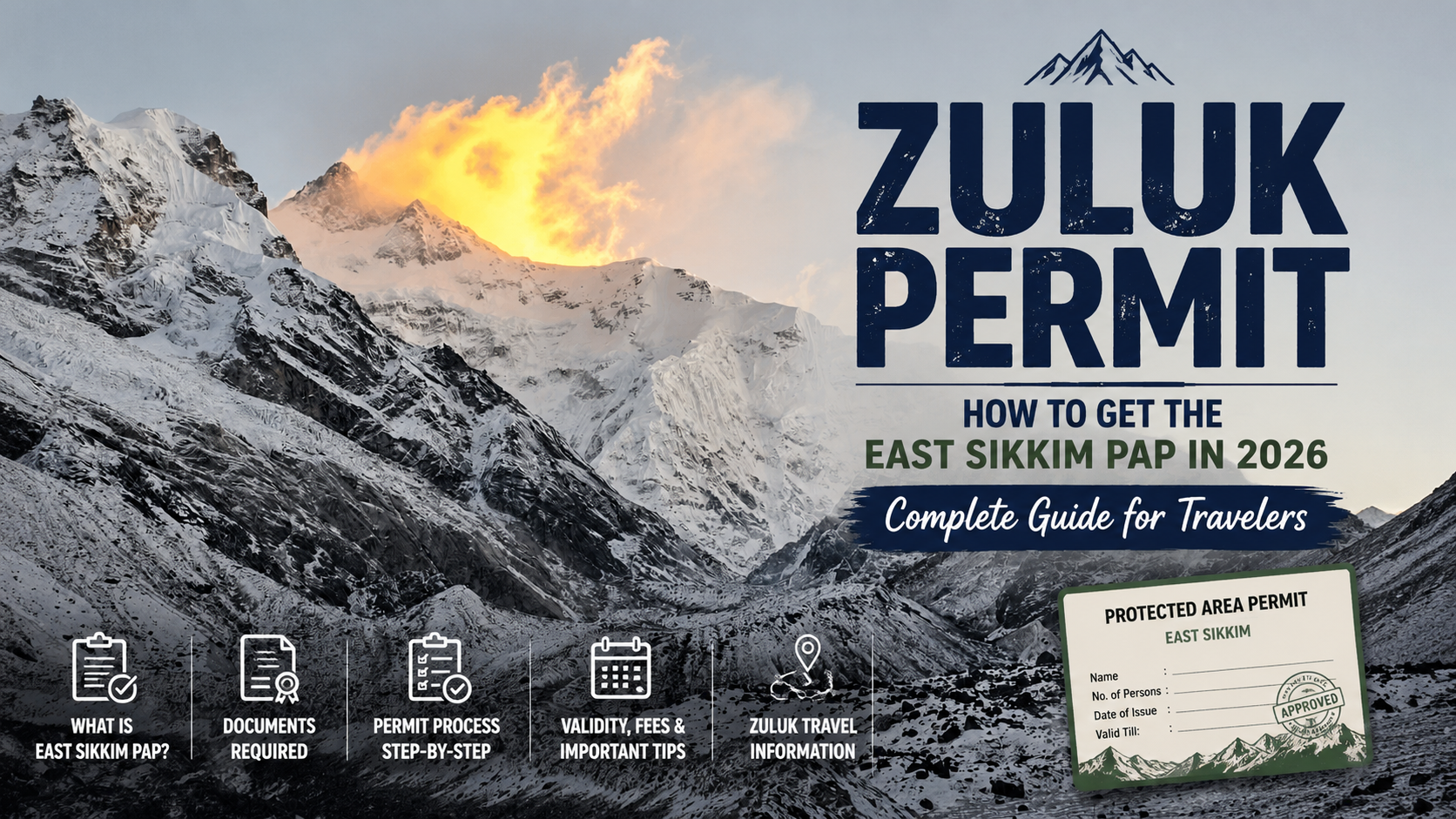
Yes, a Protected Area Permit (PAP) is mandatory for all domestic travelers because the route lies in a protected border zone. Permits are easily issued at check posts in Rongli or Gangtok using a government photo ID (Passport or Voter ID) and passport-sized photos. Foreign nationals are currently restricted from traveling past certain high-altitude points like Nathang Valley due to military regulations.
2. What is the best time of year to undertake this road trip?
October to November offers crystal-clear skies and the best views of Mount Kanchenjunga, while April to May brings pleasant weather and blooming rhododendrons. Winter (December to February) is ideal if you want to experience heavy snow, though temperatures drop well below freezing and sudden road closures can occur. It is best to avoid the monsoon months from June to September due to heavy rainfall and landslide risks.
3. How do I manage altitude sickness when traveling to Nathang Valley?
Because you ascend rapidly from Zuluk (9,400 ft) to Nathang Valley (13,500 ft), mild Acute Mountain Sickness (AMS) can happen. To prevent this, spend your first night acclimating at lower altitudes like Aritar or Zuluk rather than driving directly to Nathang. Stay well-hydrated, avoid alcohol, carry portable oxygen cans, and keep basic altitude medication handy after consulting your doctor.
4. What kind of food and stay options are available in this region?
There are no luxury hotels or commercial resorts along this offbeat eco-tourism belt. Accommodation consists of cozy, family-run homestays offering basic, clean rooms with thick blankets and bucket hot water. Hosts serve fresh, home-cooked, warm local Sikkimese meals like rice, dal, egg/chicken curry, and hot tea, making for a traditional local experience.
5. What are the essential items to pack for the trip?
Pack heavy layerable woollens, thermal innerwear, down jackets, windproof coats, woolen caps, and gloves—temperatures plummet rapidly after sunset even during summer. Since mobile connectivity is spotty and ATMs are unavailable beyond Rongli, carry sufficient cash for all local expenses and homestay payments.
Ready to Book Your Zuluk Silk Route Tour?
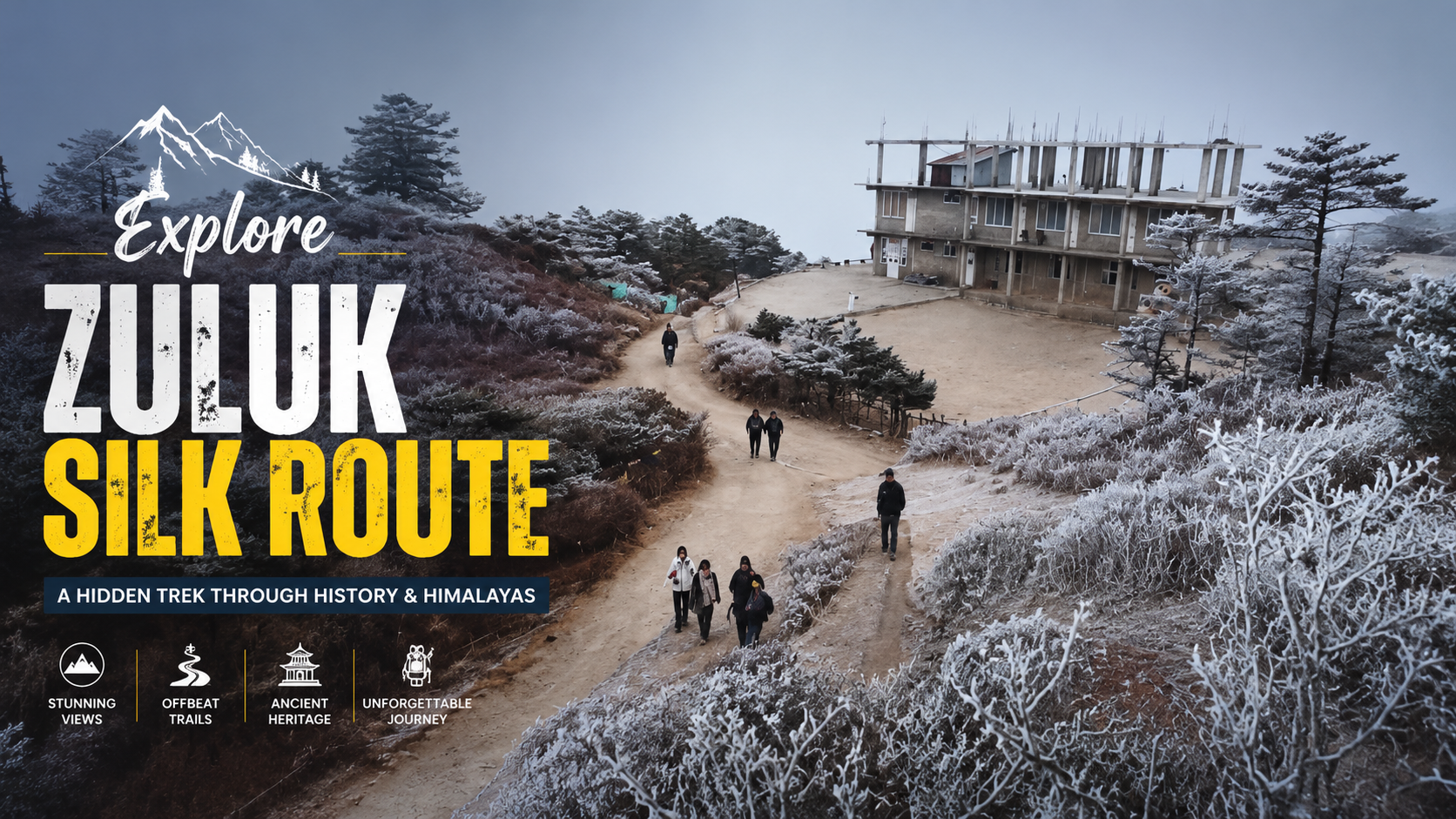
The Silk Route is the Sikkim itinerary for travellers who want their mountains with a story — a trade road that connected Lhasa to India for centuries, thirty-two bends coiled beneath a sunrise viewpoint, and village homestays that carry the road’s history in living memory. Our 2026 departures run April–May and September through the winter snow window, with the monsoon months deliberately left off the calendar.
Book the Zuluk Silk Route now: Call/WhatsApp +91 7407248200 · Email contact@trekinsikkim.in
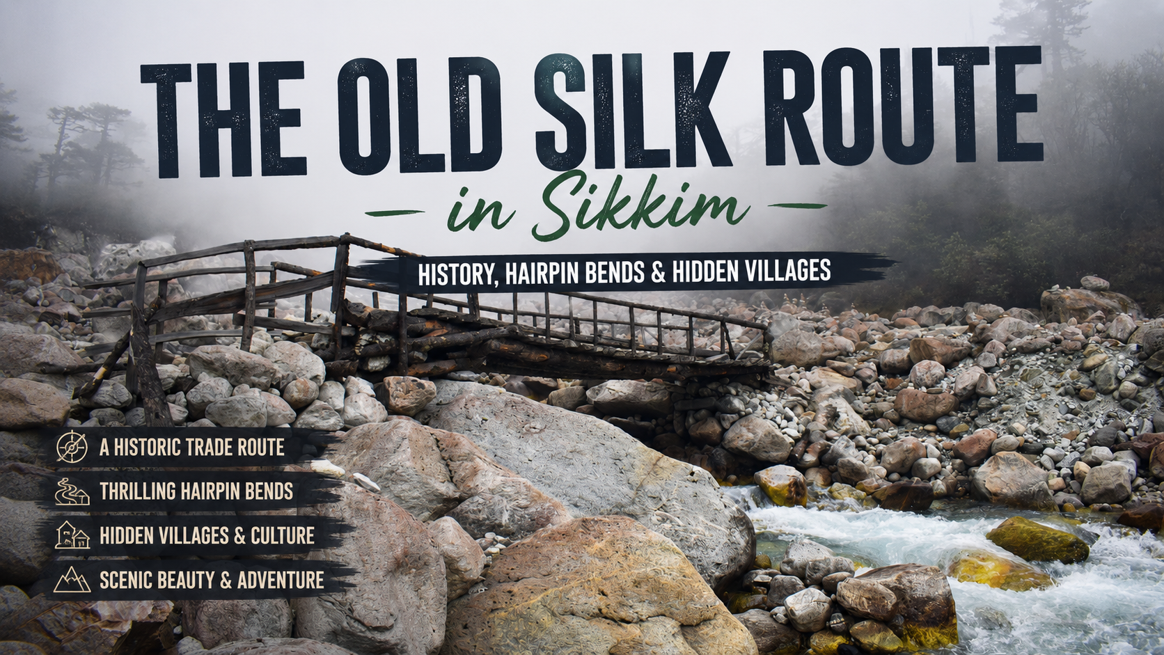
Read more: Discover the complete history, famous hairpin bends, and hidden villages along the Old Silk Route in Sikkim.
Read more: Read the Zuluk Silk Route tour itinerary, pricing, inclusions: Complete details.
Read more: Find out the best time to visit Zuluk by comparing vibrant spring rhododendrons with magical winter snowfall.
Read more: Browse all our Sikkim tours
About the author
Kiran Gurung is the founder of Glacier Treks & Adventure, an IMF-certified mountaineer, and a long-time Sikkim resident based in Yuksom, West Sikkim. Alongside the company’s trekking and expedition portfolio, he has operated East Sikkim Silk Route tours for years, with long-standing homestay partnerships in Zuluk village and a safety culture drawn from high-altitude expedition leadership. Glacier Treks & Adventure is affiliated with the Sikkim Department of Tourism, the IMF, TAAS, YTDC and SAMA.