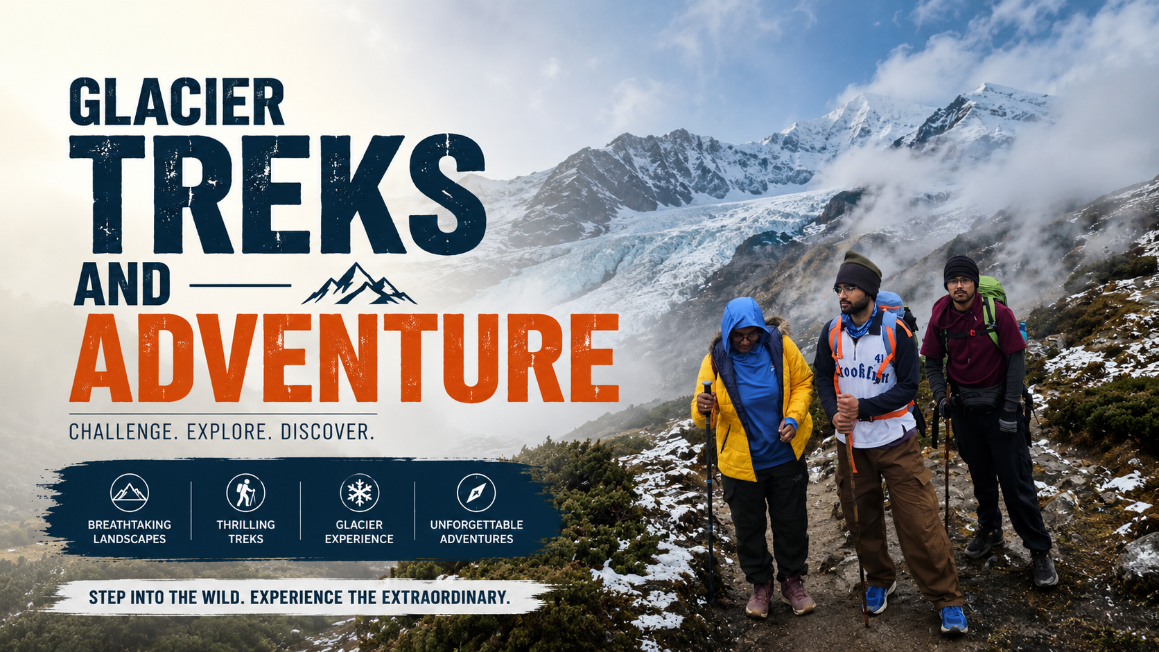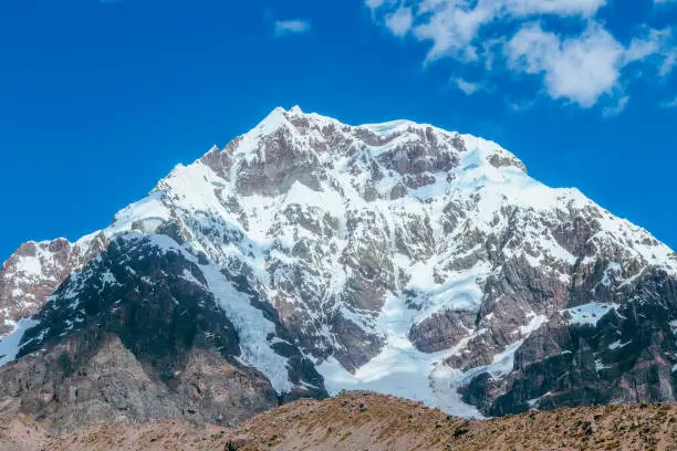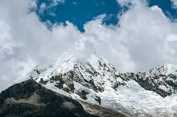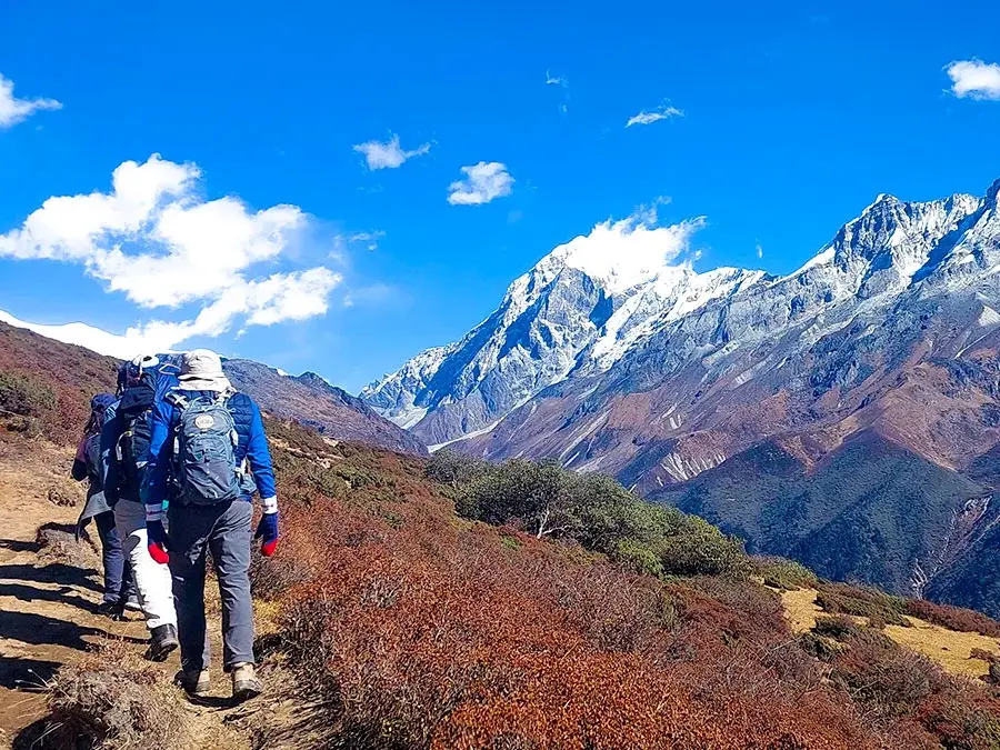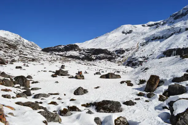
The time of the year best suited to experience the goechala trek in october is October, which is a classic high-altitude trail that is located in the Eastern Himalayas of Sikkim. The skies after the monsoon are crystal clear with the temperatures being stable, forests are now colored and the mighty Kanchenjunga can now be clearly seen at dawn. To the trekkers of the United States who want to experience a genuine Himalayan adventure, October is the best month to go there because of the scenic beauty, favorable trail conditions, and favorable climate.
Being an informational guide, it clarifies the entire itinerary, the height gain per day, the weather, and requirements in preparation of the trekkers to help them navigate successfully through the Goechala route.

The reason why October is the best month to go on Goechala Trek
The benefits of Trekking in October
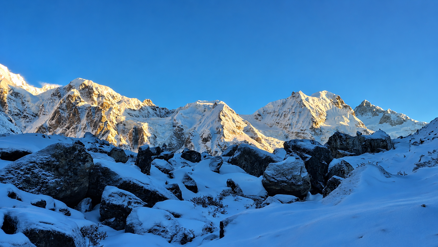
Clear mountain views
Low rainfall
Stable temperatures
Dry and firm trails
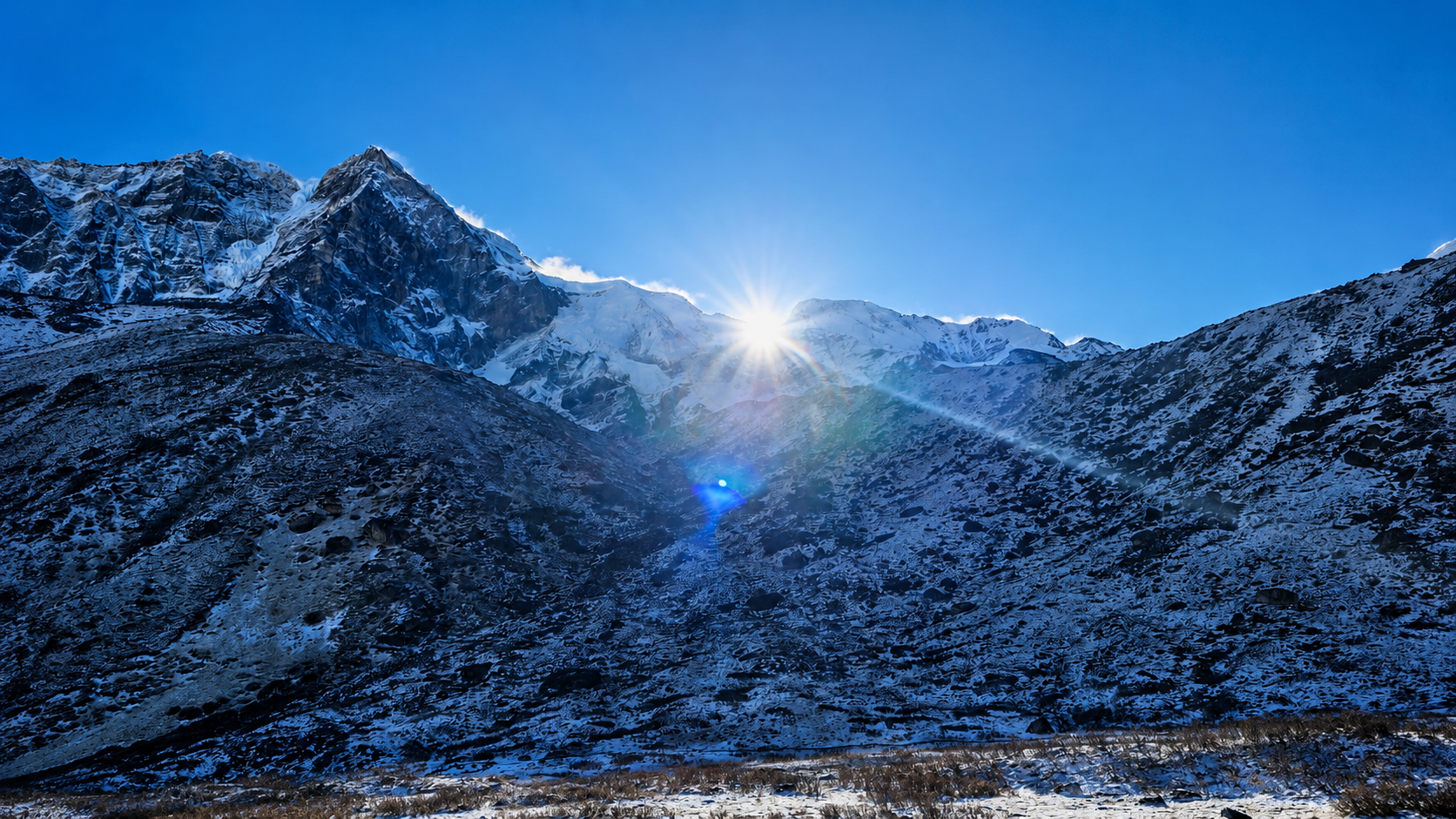
Bright visibility of the sunrise.
Lesser humidity
Higher probabilities of witnessing the entire profile of Kanchenjunga.
Weather Characteristics on October
Daytime temperature: 45°F–60°F
High camp temperature at night: 20 o C -30 o C.
Post Dzongri Ridge, speed of wind increases.
Very cloudless weather in the morning until noon.
Table 1: October Weather Overview
| Weather Factor | Condition in October | Notes |
| Day Temperature | 45°F–60°F | Long trekking hours pleasant. |
| Night Temperature | 20°F–30°F | Cold, and in particular at Dzongri and Thansing. |
| Rainfall | Very Low | Post-monsoon clarity |
| Visibility | Excellent | Best month for photography |
| Wind | Moderate to High | Strongest near Viewpoints |
Entire Day-by-Day Itinerary October
The following table shows the 8-10 days as a standard itinerary of the goechala trek during the month of October and include the altitude gain and trail conditions.
Day 1 – Arrival at Yuksom (5,600 ft)
The trail starts at Yuksom and can be reached either by Siliguri or Gangtok.
What to Expect
Permit checks
Last-minute gear rental
Stay in a homestay or lodge
Day 2 – Yuksom to Sachen (7,200 ft)
Distance: ~5 miles
Time: 5–6 hours
Route Conditions
Gradual forest trail
Wooden bridges
Highlights
Dense sub-tropical forest
River crossings
Altitude Gain: +1,600 ft
Day 3 – Sachen to Tshoka (9,700 ft)
Distance: ~5 miles
Time: 5–6 hours
Route Conditions
Sharp ascending through rhododendron thicket.
Highlights
First views of high ridges
Altitude Gain: +2,500 ft
Day 4 – Tshoka to Dzongri (13,020 ft)
Distance: ~6 miles
Time: 6–7 hours
Route Conditions
Long ascent
Wooden steps and ridge paths
Highlights
Panoramic peaks
Gloaming in the woods.
Altitude Gain: +3,300 ft
Day 5 – Acclimatization Day at Dzongri
What to Do
Short hikes
Visit Dzongri Top (13,675 ft)
Importance
This day minimises the risk of altitude sickness.
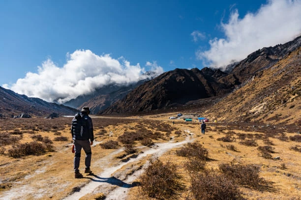
Day 6 – Dzongri to Thansing (12,900 ft)
Distance: ~6 miles
Time: 5–6 hours
Route Conditions
Down a sharp steep and then a long walk over meadow.
Highlights
Mt. Pandim views
River valley landscape
Day 7 – Thansing to Lamuney (13,650 ft)
Distance: ~2 miles
Time: 2–3 hours
Route Conditions
Short but high-altitude walk
Highlights
Glacier basin scenery
Day 8 – Lamuney to Viewpoint 1 (15,100 ft)
Distance: ~4 miles
Time: 7–8 hours round trip
Route Conditions
Early morning climb
Rocky and cold
Highlights
First light on Kanchenjunga
Grand Himalayan panorama
Altitude Gain: +1,450 ft
Day 9 – Lamuney to Tshoka
Long way back through Thansing and Dzongri.
Highlights
Forest landscapes
Painless breathing following descent.
Day 10 – Tshoka to Yuksom
Going back to the initial location.
What to Expect
Forest crossings
End of trek
Table 2 – Altitude Gain Summary
| Day | Location | Altitude | Gain/Loss |
| 1 | Yuksom | 5,600 ft | — |
| 2 | Sachen | 7,200 ft | +1,600 ft |
| 3 | Tshoka | 9,700 ft | +2,500 ft |
| 4 | Dzongri | 13,020 ft | +3,320 ft |
| 5 | Acclimatization | 13,675 ft (top) | +655 ft |
| 6 | Thansing | 12,900 ft | –120 ft |
| 7 | Lamuney | 13,650 ft | +750 ft |
| 8 | Viewpoint 1 | 15,100 ft | +1,450 ft |
| 9 | Tshoka | 9,700 ft | Descent |
| 10 | Yuksom | 5,600 ft | Descent |
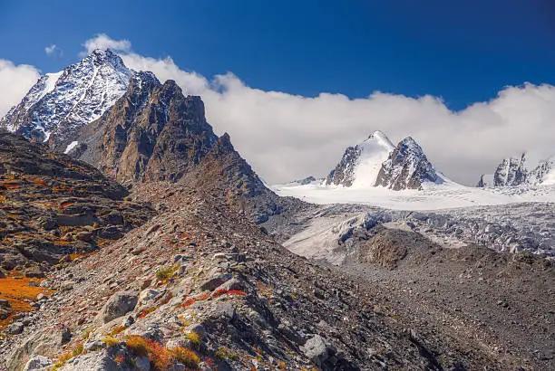
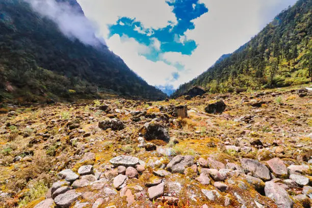
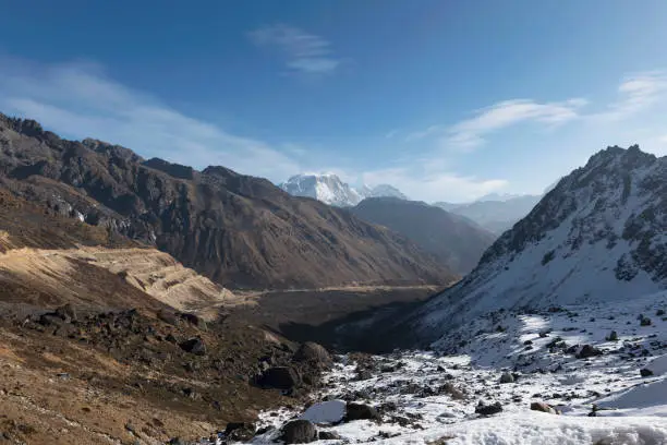
October Trail Conditions
Forest Sections
Dry and stable
Low leech activity
Cool mornings
Ridge Walks
Strong winds
Sharp visibility
Ideal for photography
High Altitude Sections
Frost on the trail
Thin air
Need for slow climbing
How to pack to go on the Goechala trek in October
Essential Clothing
Thermal base layers
Insulated jacket
Waterproof outer layer
Warm gloves and beanie
High-ankle trekking boots
Gear Checklist
Trekking poles
Headlamp including spare batteries.
Water purification tablets
Sleeping bag (–10°C rated)
Sunglasses and sunscreen
October Strategy of Acclimatization
Preparation Steps
Walk slowly and steadily
Deep breathing when climbing.
Increase water intake
Limit the consumption of caffeine.
Nutrition Tips
Eat high-carb meals
Carry nuts and energy bars
There should be no heavy meals during ascent.
Photography Tips October
Best Times for Photos
Sunrise: Kanchenjunga is gold.
Morning: Clear horizons
Late evening: Alpine colors
What Makes October Special
Zero haze
Intense contrast
Brilliant star visibility
Quotes for Motivation
The clearest skies give the best gift to the trekker in the month of October.
Goechala has a new life every morning of the sunrise when you are above the clouds.
There is October Himalayan silence which is worse than winter snow.
FAQ
Is it safe to do a goechala trek in october?
Yes, October has stable weather and it is one of the safest months.
What is the temperature of the coldest month (October) like?
At higher camps, nights may fall to 20 o F 30 o F.
Is it possible to have beginners when the trek is in October?
Those who are not advanced can start as beginners with training and help.
Do I need permits for the trek?
Yes, Sikkim allows and permission of entry to forests is needed.
Is snow present in October?
There can be light frost and heavy snow is not common.
Conclusion
The goechala trek in october is a very scenic, secure and rewarding Himalayan experience that US trekkers can get. October is an ideal month to visit the Kanchenjunga range as the mountain range can be seen well, there are favorable temperatures when it comes to walking, and the itinerary is well balanced. In conjunction with gradual acclimatization, the necessary equipment, and the knowledge of altitude accumulation, trekkers will be able to have a awe-inspiring, comfortable, and pleasant experience in one of the most recognizable Indian trails.