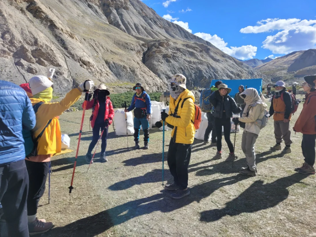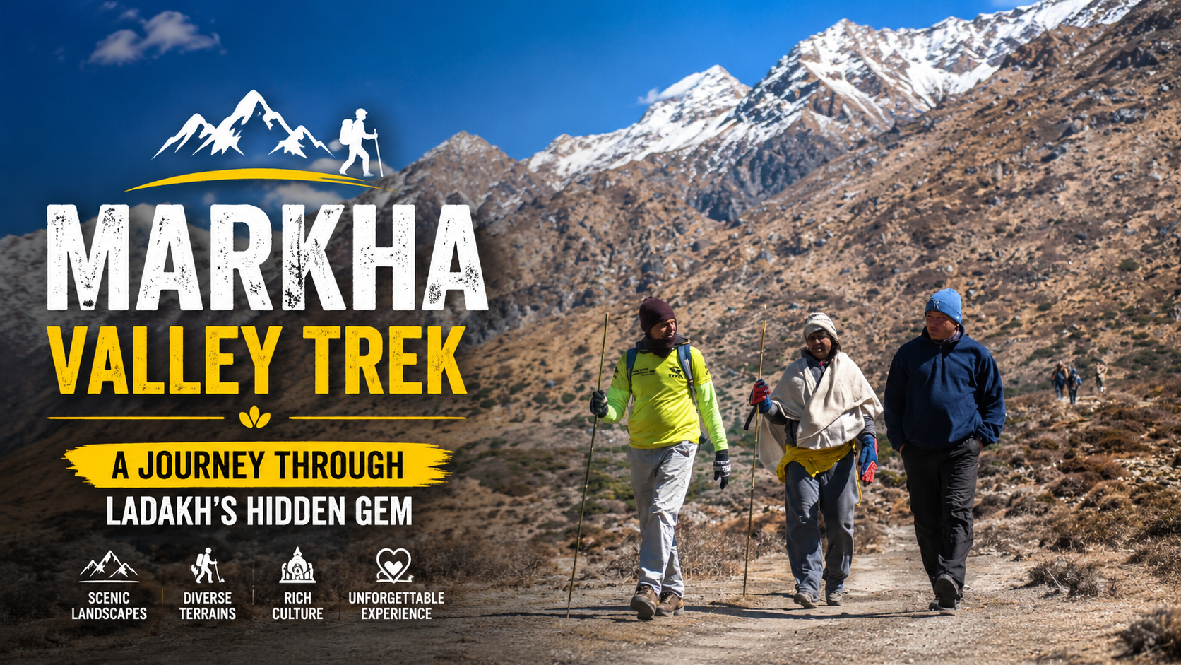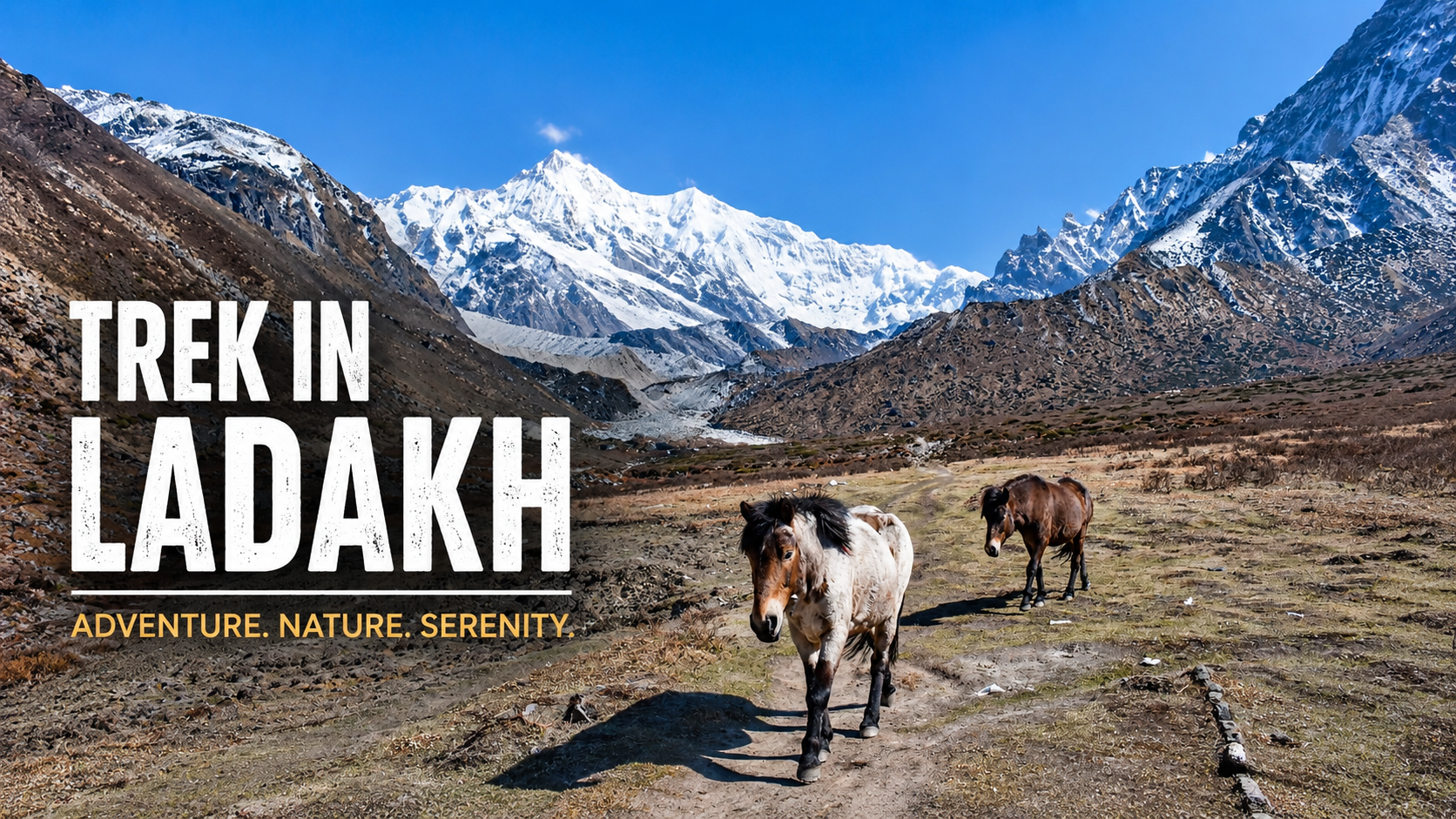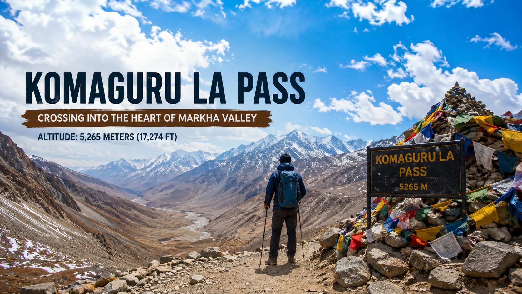
The Markha Valley trek builds towards one moment. For six days, you walk through Hemis National Park, cross the Zanskar River, sleep in Ladakhi homestays, and watch Kang Yatse grow larger on the eastern horizon. Then comes Day 7. The day you stand on top of Kongmaru La Pass.
At approximately 5,400 metres (some sources record it at 5,261 m, others at 5,200 m, and some accounts place it at 5,100 m—the variation depends on the measuring point and the year), Kongmaru La Pass is the highest point of the Markha Valley trek. It is the pass that separates the Markha Valley from the Indus Valley, the moment when the landscape shifts from the high-altitude desert of the trek’s first half to the descent towards civilisation.
This is your summit-day guide. No fluff. Just what you need to know.
The Reality of Kongmaru La Altitude
Let us get the numbers straight first. Different sources give different figures for the Kongmaru La altitude:
- 5,261 metres (17,260 ft) — recorded by the Alpenverein route guide
- 5,200 metres (17,060 ft) — cited by Komoot and multiple trekking operators
- 5,150 metres — noted by Trekking in India
- 5,100 metres — from a first-hand account in Outlook Traveller
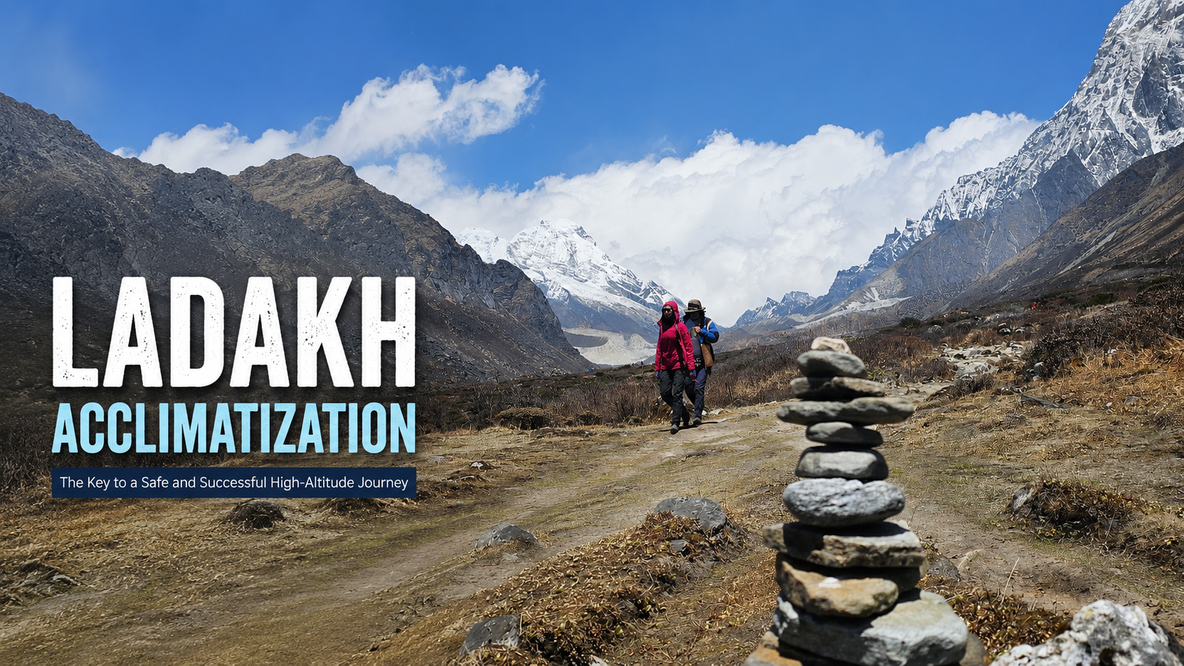
Why the variation? The pass is not a single sharp point but a broad saddle. Different GPS devices and maps mark the high point at different spots along the traverse. For practical purposes, you are crossing a pass that sits somewhere between 5,100 and 5,260 metres. That is high enough to feel the altitude acutely.
For context, that is higher than Everest Base Camp (5,364 m). Higher than Kilimanjaro (5,895 m is close, but you get the point). The air at Kongmaru La contains roughly half as much oxygen as at sea level. You will feel it in your breathing, your pace, and your head.
Do not underestimate this. The Kongmaru La trek difficulty is not technical—the pass itself is a straightforward walk-up—but the altitude makes everything harder.
Kongmaru La Trek Difficulty: What You Are Actually Facing
Here is the honest assessment of the Kongmaru La trek difficulty.
The ascent: You start from Nimaling at 4,800 metres. The climb to Kongmaru La is roughly 400 to 500 metres of elevation gain over about 3 to 4 kilometres. The trail is a steady, switchbacked slope with no technical sections—no scrambling, no exposed ridges, no ice crossings in the summer season. It is a walk. A slow, deliberate, high-altitude walk.
The real challenge: The descent. From the pass at roughly 5,200 metres, you drop all the way down to Shang Sumdo at approximately 3,800 metres. That is a 1,400-metre descent in a single day. Your knees will feel every metre of it. The trail descends through rocky terrain, then red rock canyons, then riverbeds. It is long—six to seven hours of walking after the summit—and by the time you reach Shang Sumdo, you will be exhausted.
The route itself is heavily frequented, so navigation is not an issue. You will not get lost. But you will get tired.
Who should do this: Fit trekkers with prior high-altitude experience. First-time trekkers can do it if they are well-acclimatised and mentally prepared for a long day. The grade is considered moderate to challenging. The altitude is the primary difficulty, not the terrain.
Read more: Find the best season for the Markha Trek with month-wise weather and trail conditions
The Kang Yatse View from Kongmaru La
The Kang Yatse view from Kongmaru La is one of the most unforgettable highlights of the Markha Valley Trek.
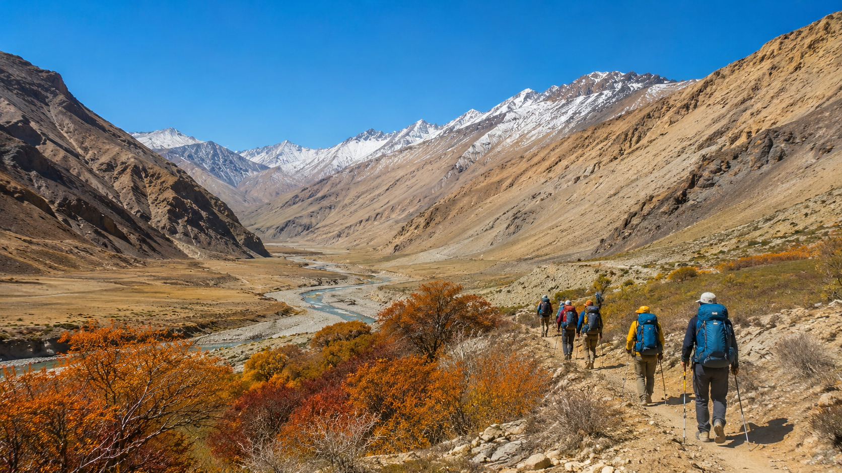
Kang Yatse (6,400 metres, or 21,300 feet), in Ladakh, has been your silent companion since Day 4. You first spotted it from the trail above Umlung. You camped directly below it at Nimaling. But from Kongmaru La, you see it in full, unobstructed glory—the glaciated peak dominating the southeast horizon.
Turn around, and the view is equally spectacular. To the northwest, you see the Karakoram range stretching into the distance. On a clear day, you might even spot the distant Nun-Kun peaks and the shimmering peaks that mark the Tibetan border. Directly below you, the Indus Valley opens up—your first glimpse of the civilisation you are about to re-enter.
Prayer flags dance at the pass. The wind is constant. And for a few minutes, you stand on the roof of the Markha Valley.
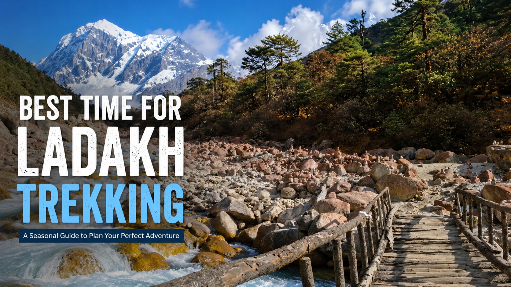
Best Time to Cross Kongmaru La
The best time to cross Kongmaru La is the same as the best time for the entire Markha Valley trek: June to September.
- June to July: The snowmelt is at its peak. River crossings are deeper and colder. The trails are wet. But the wildflowers bloom, and the landscape is at its greenest.
- August: The monsoon hits Ladakh differently than the rest of India—it brings clearer skies and stable weather, not rain. August is peak season. Expect more trekkers on the trail.
- September: The best window. The barley fields in Markha and Hankar are golden. The air is at its clearest. The crowds have thinned. Nights are colder, but the daytime conditions are perfect for a summit day.
Avoid crossing Kongmaru La outside this window. From November to March, the pass is under snow, and the access roads are closed. May is possible but unpredictable—some snow may still linger on the pass.
Summit-day timing: Start early. Most trekkers leave Nimaling between 6:00 and 7:00 AM. You want to reach the pass by mid-morning, when the light is best for photography and before the afternoon winds pick up. The descent to Shang Sumdo takes another four to five hours. Aim to be off the pass by noon.
Read more: Check the latest Markha Trek cost, inclusions, permits, and package details
The Descent to Shang Sumdo and Beyond
The Kongmaru La Pass marks the end of the Markha Valley proper. Once you cross it, you are in a different landscape—the Indus Valley side of the Hemis National Park.
The descent from the pass to Shang Sumdo is long and relentless. You drop through rocky slopes, then enter a red-rock canyon. The trail follows the riverbed in places. By the time you reach Shang Sumdo, you have lost all the altitude you gained over the previous days.
From Shang Sumdo, it is a short drive or walk to Hemis Monastery—one of Ladakh’s most important gompas, founded in the 11th century—and then back to Leh. The trek is officially complete.
What Most Trekkers Get Wrong About Kongmaru La
I have seen trekkers make the same mistakes year after year. Here is what they get wrong.
They underestimate the descent. Everyone worries about the climb. No one worries about the descent. But the 1,400-metre drop from Kongmaru La to Shang Sumdo is what breaks people—their knees, their morale, their energy. The climb is short. The descent is long. Prepare for it.
They start too late. Leaving Nimaling at 8:00 AM means you reach the pass around 11:00 AM and Shang Sumdo around 4:00 PM. That is fine. But the afternoon winds at the pass can be brutal. Start earlier. Reach the pass by 9:00 AM. Enjoy the view without getting blown sideways.
They forget to drink water. At 5,200 metres, you are losing moisture with every breath. Dehydration amplifies altitude sickness. Drink constantly on the ascent. Your guide will remind you. Listen.
Kongmaru La is the summit of the Markha Valley trek—not in the climbing sense, but in the sense that everything before it builds towards this moment, and everything after it is the journey home. The altitude, the Kang Yatse view, the prayer flags, the long descent—it all adds up to one of the most memorable days you will have in the Indian Himalayas.
Cross it well. Cross it prepared. And when you stand on top, take a moment to look back at the valley you just walked through. You earned that view.
Ready to Book Your Markha Valley Trek?
Markha is the trek that introduces most people to Ladakh — and for good reason. The combination of homestay culture, dramatic landscape, manageable difficulty and the Kongmaru La summit makes it one of the most memorable Indian Himalayan treks. Our 2026 Ladakh season runs from mid-June through early October, with batches roughly every two weeks during peak season.
Book the Markha Valley Trek now: Call/WhatsApp +91 7407248200 · Email contact@trekinsikkim.in
Read more: View the Markha Valley Trek product page and book
Read more: Consider the winter alternative — the Chadar Trek
Read more: Browse all our Ladakh treks and expeditions
Read more: Read the complete Ladakh trekking guide (12 best treks, permits, acclimatisation)